Progressive payload integration, endurance solutions, and advances in satellite communications took Saildrone from proof-of-concept to a proven platform for autonomous bathymetry.
Beyond Soundings: How Saildrone Transformed Autonomous Ocean Mapping
Published on
September 18, 2025
Read time:
5
Minutes
In the September 2025 issue of Sea Technology, Brian Connon, VP Ocean Mapping, and Kitch Kennedy, Director of Ocean Mapping, offered an inside look at how Saildrone pioneered autonomous bathymetry capabilities. That article is summarized below.
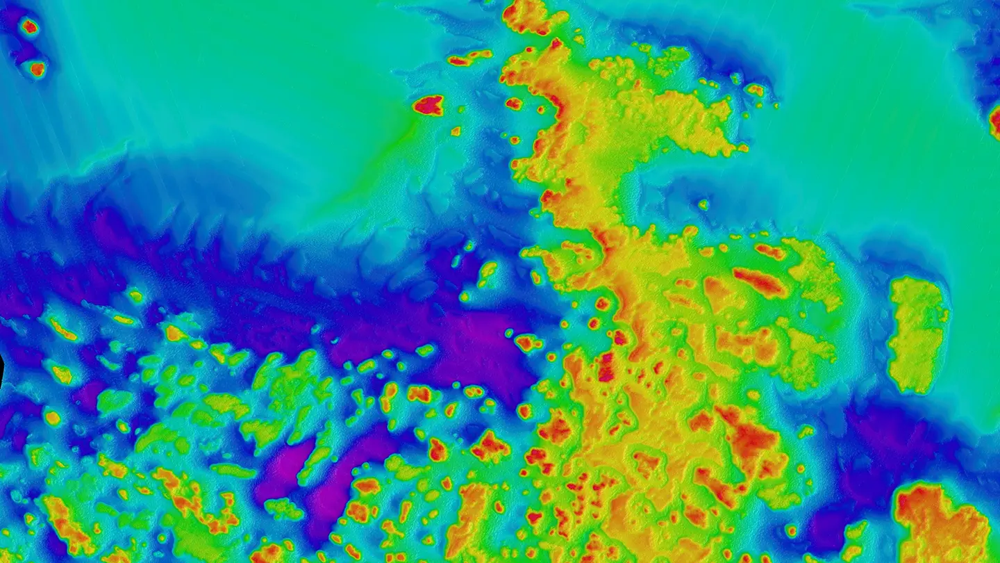
Mapping the seafloor has long been essential for safe navigation, resource management, and scientific research, yet much of the ocean remains poorly charted. Over the past decade, Saildrone has advanced from initial proof-of-concept trials to operating a fleet of purpose-built autonomous platforms designed to collect high-quality bathymetric data at scale. The evolution of these systems reflects both the growing demand for seafloor mapping and the technical ingenuity required to deliver it remotely.
Saildrone’s first platform, the Saildrone Explorer, is a wind- and solar-powered unmanned surface vehicle capable of yearlong missions to collect atmospheric and oceanographic data. While effective for climate and ecosystem monitoring, bathymetric mapping presented additional requirements: greater power capacity, maintaining precise survey lines, and integrating multibeam echo sounder (MBES) and sound velocity profiling systems. Early experiments using Explorers equipped with MBES highlighted the promise of autonomous mapping but exposed the limitations of a platform not designed for that purpose.
To overcome those constraints, Saildrone developed the 22-meter Surveyor, a USV specifically engineered for deep-ocean mapping. Saildrone Surveyor USVs carry Kongsberg EM 304 MKII and EM 2040 multibeam sonars for deep and shallow water mapping, supported by high-grade inertial navigation, sound velocity profilers, and redundant satellite communications. Hybrid propulsion systems provide the endurance required to operate for extended periods in remote regions. Saildrone manufactured five Surveyor USVs in 2024; all are currently deployed on missions in the Atlantic and Pacific oceans. These operations continue to demonstrate that USVs can deliver reliable bathymetric data, reducing risk and cost.
While the Surveyor addresses the needs of deepwater mapping, nearshore environments require a smaller, more maneuverable platform. Saildrone designed the 10-meter Voyager, equipped with a NORBIT Winghead multibeam echo sounder and an Innomar sub-bottom profiler. The Voyager can be shipped in a standard container and deployed quickly with minimal shoreside support, making it well-suited for coastal surveys, habitat mapping, and infrastructure projects. Together, the Surveyor and Voyager classes now provide a complementary toolkit for mapping across the full range of marine environments.
Developing autonomous platforms for ocean mapping also meant addressing several technical hurdles traditionally managed by human operators. Power management was one of the first. Multibeam sonars and associated computing demand significant energy. Saildrone created a hybrid system, leveraging wind propulsion for endurance and adding a high-efficiency diesel generator to provide additional battery charging, with careful onboard energy distribution to sustain long survey missions. Another challenge was the deployment of the sound velocity profiler, which is essential for correcting sonar data. Saildrone worked with AML Oceanographic to design a profiler that charges inductively, communicates wirelessly, and includes antifouling measures, enabling fully remote operation without manual intervention.
Communications posed a further obstacle. Early missions relied on low-bandwidth Iridium links, sufficient for basic commands but not for transmitting large sonar data sets or conducting real-time system checks. Upgraded satellite communications now allow Surveyors and Voyagers to stream key diagnostics and mission data, allowing operators to adjust plans and maintain quality assurance from shore. Mission oversight is carried out through Saildrone’s secure web portal, where operators and clients can monitor tracklines, coverage, and system health in near real time. Cloud-based processing pipelines provide rapid quality control and early access to preliminary data, reducing the time between survey and delivery.
These advances have made autonomous bathymetry a viable option for a wide range of use cases. Governments and regulatory agencies can use Saildrone data to improve navigation safety, delineate exclusive economic zones, and plan offshore infrastructure. Commercial stakeholders gain a safer and more cost-effective alternative to crewed survey vessels, while researchers and conservationists gain access to previously unexplored areas critical for understanding biodiversity, climate processes, and geohazards. The ability to scale operations with a persistent fleet also offers a path toward mapping the many regions of the global ocean that remain uncharted.
Saildrone’s trajectory from the first wind-powered Explorer to today’s Surveyor and Voyager illustrates the rapid maturation of autonomous seafloor mapping. The company continues to refine its platforms with greater onboard autonomy, enhanced cloud analytics, and expanded fleet capacity. What began as an experiment in adapting an ocean observation vehicle for mapping has grown into a sustained capability for delivering high-resolution bathymetric data in environments once considered inaccessible. As the need for ocean knowledge expands, the combination of persistence, safety, and efficiency that autonomous USVs provide will play a critical role in building a more complete understanding of the seafloor.
Read the full article in the September issue of Sea Technology.
Must Read


[
NEVER MISS AN UPDATE
]
Stay informed with the latest research findings and updates.
By clicking Sign Up you're confirming that you agree with our Privacy Policy.
