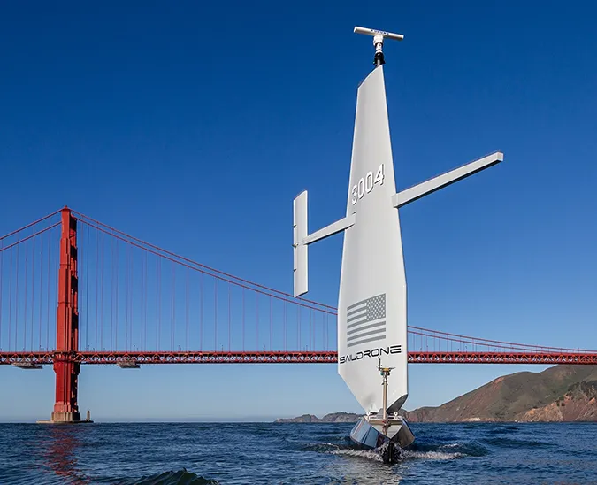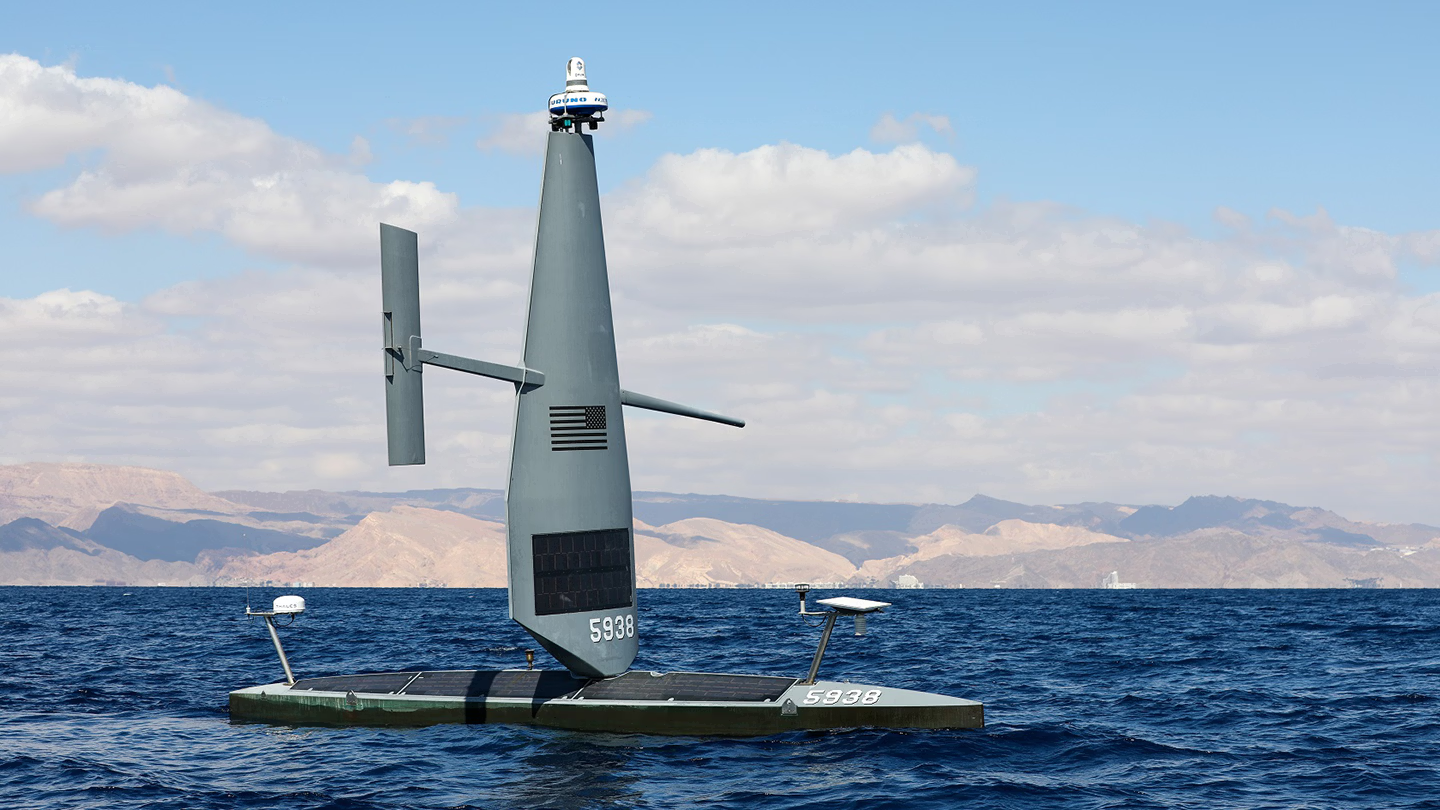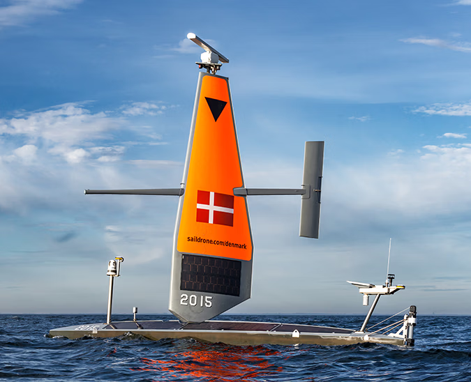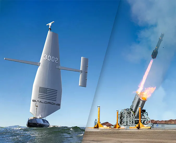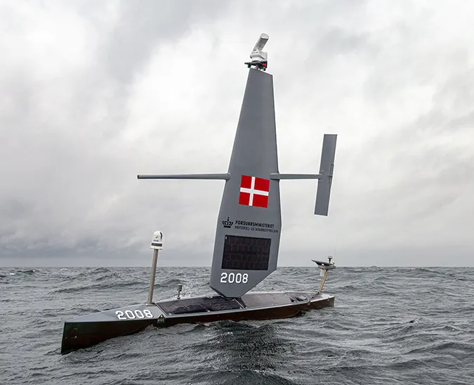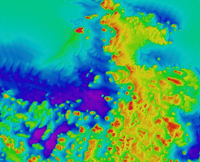
Real-time intelligence and insight for maritime security, seafloor mapping, and ocean research.
Defense & Security
Enhanced mission efficiency for maritime defense and law enforcement.
Ocean Mapping
Real-time high-resolution bathymetry data available anywhere in the world.
Ocean Research
Scientific-grade mission data gathered in the most extreme environments.
Explore the various applications of Saildrone's autonomous surface vehicles in different industries and sectors.
Weather & Climate
Defense
Homeland Security
Fisheries
Offshore Wind
Transocean Cables
With industry-leading hardware, proprietary software, and advanced machine learning, Saildrone delivers solutions for a wide range of critical maritime applications.
Vehicles
Data
Learn more about Saildrone or join our team.
Missions
Featured science, mapping, and defense operations.
News
Latest news, announcements and thought leadership.
Press
Featured headlines from around the world.
Scientific Papers
Established scientific confidence in our data.
About
Careers
Stay up-to-date with the latest industry news and insights.
National Data Buoy Center Director Dr. William Burnett says what we need is a conglomerate of moored and uncrewed systems working together to resolve observation gaps and grow the Blue Economy.
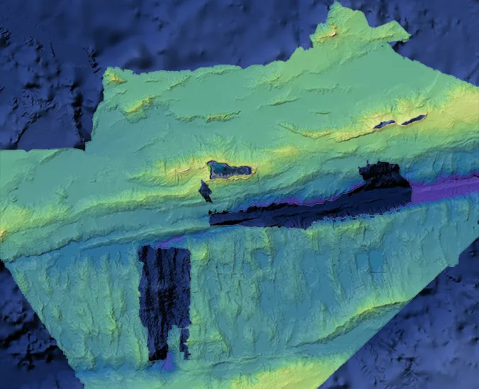
Saildrone has mapped 1,500 sq nm of seafloor in an under-explored area of the Gulf of Maine, revealing a complex and varied underwater landscape.
The data collected will improve maritime navigation and support scientific research, environmental conservation efforts, and marine resource management in the Cayman Islands.
New this year: Two Saildrone USVs will collect data on CO2 exchanged between the ocean and the atmosphere during hurricane events.
In recognition of World Oceans Day, international fisheries consultant Alexander Min discusses the global impacts of illegal, unregulated, and unreported fishing—and what can be done about it.
The fourth-annual TIME100 Most Influential Companies list highlights the companies making an extraordinary impact around the world.
Saildrone’s first annual Carbon Impact Report highlights significant carbon emissions avoided by using USVs for maritime data collection—143% of the company’s own total emissions.
Saildrone Voyager USVs are mapping in the Gulf of Maine to support the NOAA deep-sea coral survey.
A lighter, leaner design to optimize speed, power, and payload for long-range, long-endurance autonomous ocean mapping and maritime security.
The American Bureau of Shipping issued the first-ever classification for a commercial autonomous, uncrewed vehicle to Saildrone for the 10-meter Voyager.
Stay informed with the latest research findings and updates.
By clicking Sign Up you're confirming that you agree with our Privacy Policy