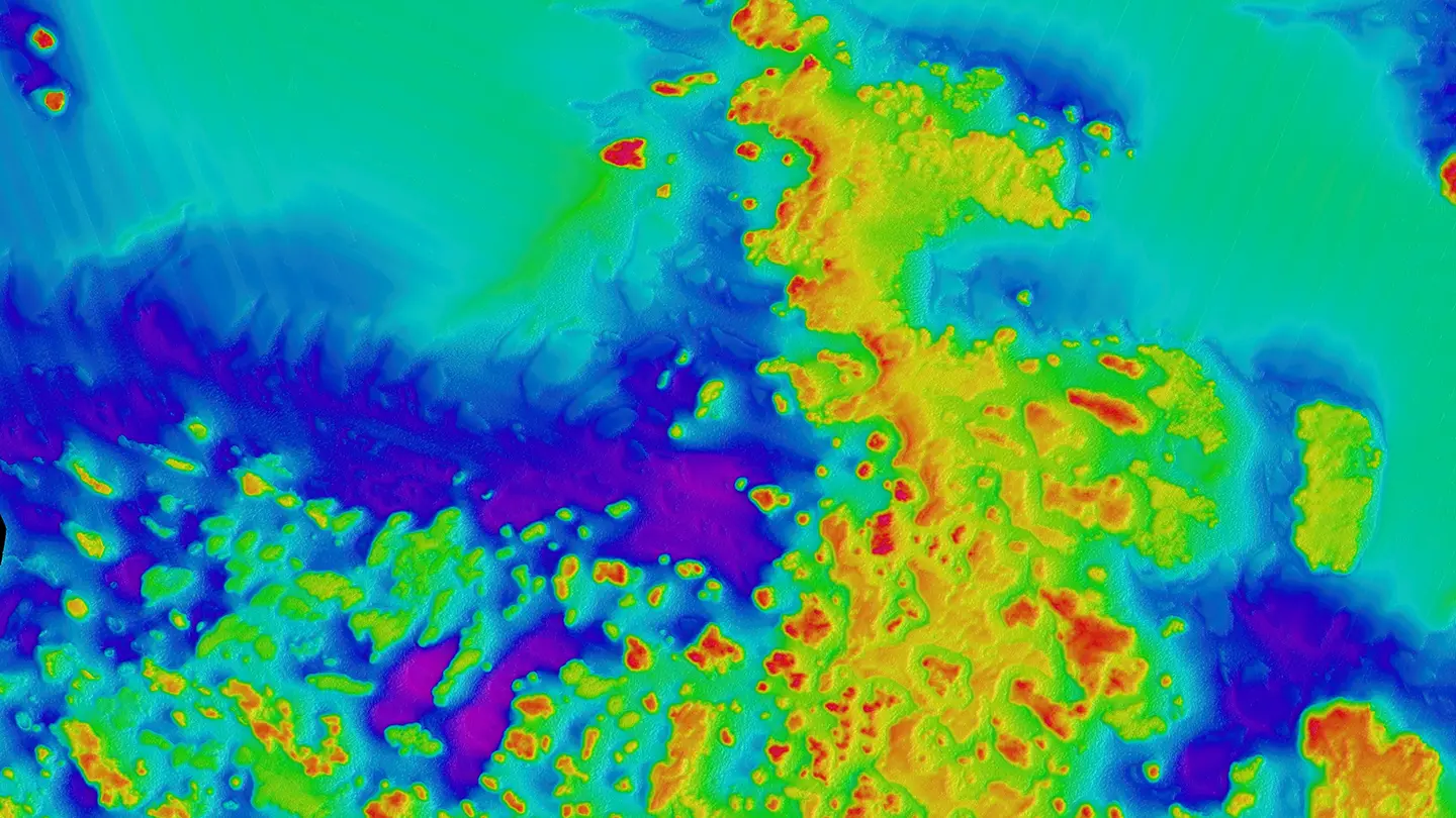
Bathymetry

Tag
Saildrone Kicks off First Seafloor Mapping Mission in Gulf of Maine
Missions

The two-month mission using the new Saildrone Voyager is in support of the NOAA deep-sea coral survey.

Read More
A New Partnership to Map the Ocean
Data

Saildrone and Seabed 2030 will work together to leverage technological innovation to more quickly and efficiently collect ocean mapping data and make it freely available to all.

Read More
Austal Australia to Manufacture Saildrone Surveyor USV for Indo-Pacific Region
Company

The 65-foot Surveyor is designed for deep ocean mapping and maritime security missions.

Read More
New Mid-size Voyager USV Expands Data Collection at Sea
Technology

The 33-foot Saildrone Voyager is designed for near-shore bathymetry and maritime security missions.

Read More
Closing Ocean Exploration Gaps in Remote Waters
Missions

The Saildrone Surveyor, the world’s largest uncrewed ocean mapping vehicle, has mapped more than 45,000 square kilometers (17,375 square miles) of previously unexplored ocean floor during a months-long survey around Alaska’s Aleutian Islands and off the coast of California.

Read More
Austal USA to Build Saildrone Surveyor USV
Company

The Mobile, AL-based shipbuilder will manufacture Saildrone’s 65-foot USV.

Read More
How High-Resolution Ocean Mapping Protects Coastal Communities
Technology

Detailed information about the coastal seafloor is essential to predicting destructive hurricane storm surge.

Read More
Saildrone Surveyor Earns Ocean Innovation Award for Revolutionizing Ocean Mapping
Technology

Presented by the Blue Marine Foundation and BOAT International, the Ocean Awards recognize groups and individuals making significant contributions to ocean conservation.

Read More
Sulmara Teams Up with Saildrone to Use USVs to Expand Offshore Energy Around the World
Technology

Sulmara Subsea has ordered 10 Saildrone Voyagers to bring low-carbon USV-based survey and inspection to the global offshore energy sector.

Read More
Saildrone Opens Florida Ocean Mapping Headquarters to Support Critical Coastline Initiatives
Company

Saildrone is one of several science and defense-oriented companies located at the St. Petersburg Innovation District’s new Maritime and Defense Technology Hub.

Read More
Saildrone Surveyor Completes Its First Ocean Crossing from San Francisco to Hawaii
Missions

Following this successful proof of concept voyage, Saildrone will build a fleet of Surveyors, manufactured at US shipyards, to map Earth’s oceans in the next 10 years.

Read More
Saildrone Launches 72-foot Surveyor, Revolutionizing Ocean Seabed Mapping
Technology

The new Saildrone Surveyor is the world’s most advanced uncrewed surface vehicle, equipped with an array of acoustic instruments for high-resolution shallow and deep-water mapping.

Read More
Brian Connon Joins Saildrone as VP of Ocean Mapping
Company

The former director of the USM Hydrographic Science Research Center, Brian Connon will lead Saildrone’s Ocean Mapping division.

Read More
Saildrone Fleet Completes First Arctic Mapping Mission
Missions

Four saildrones sailed 8,000 nautical miles round trip from San Francisco to the Canadian border to collect bathymetry data off Alaska’s North Slope.

Read More
Ocean Mapping Mission Starts Off Alaska’s North Slope
Missions

Saildrone’s Arctic fleet has begun to map the 20-meter and 50-meter contour lines from Point Hope to the Canadian border.

Read More
Mapping the Arctic Seafloor Using Autonomous Vehicles
Missions

This first-of-its-kind acoustic bathymetry mission will test the ability of Saildrone USVs to map the US exclusive economic zone off Alaska’s North Slope.

Read More
NOPP Grant Creates 3-Way PPP to Advance Ocean Mapping
Company

UNH, MBARI, and Saildrone will work together to advance deepwater ocean bathymetry thanks to a three-year grant from the National Oceanographic Partnership Program.

Read More
Autonomous Vehicles for Cost-Effective Global Ocean Mapping
Technology

Saildrone USVs can not only significantly reduce the cost of ocean mapping at scale, but they can also more easily and efficiently reach the most remote corners of the ocean.

Read More
Shipwreck Discovered During Proof-of-Concept Multibeam Bathymetry Mission
Technology

Saildrone partnered with the University of Southern Mississippi and NOAA to complete our first shallow-water multibeam bathymetry mission in the Gulf of Mexico.

Read More
Why We Know More About Other Planets Than Our Own – And What We’re Doing About It
Data

Hint: A fleet of autonomous ocean drones collecting unprecedented amounts of data.

Read More