Metocean Survey
Persistent Environmental Intelligence for Mission Planning and Fleet Operations
Autonomous systems engineered to collect high-quality meteorological and oceanographic data—delivering the environmental intelligence needed to plan, position, and operate with confidence across the battlespace.
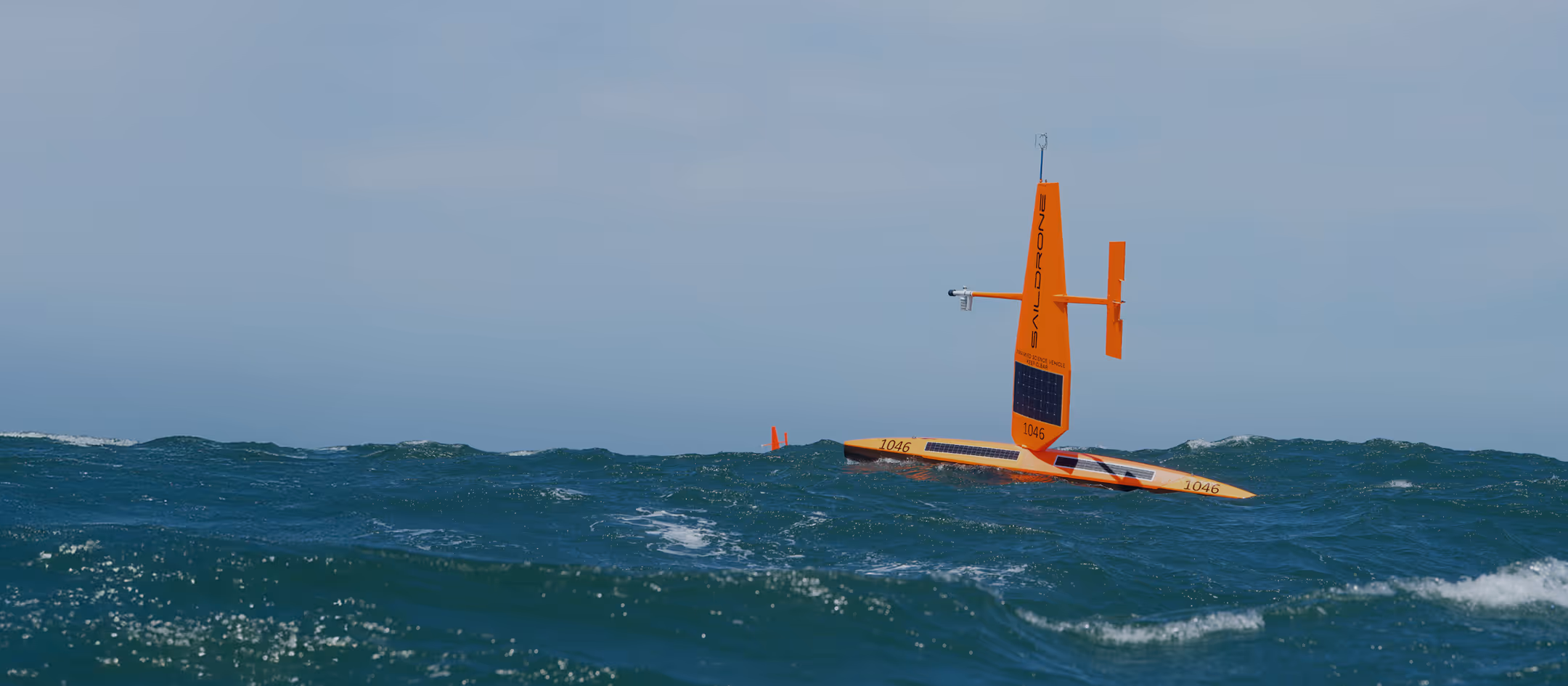
Saildrone provides real-time METOC observations using extreme-endurance unmanned surface vehicles (USVs) equipped with advanced sensors for atmospheric and oceanographic measurements. Operating for months at a time, Saildrone systems fill critical data gaps that impede forecasting accuracy, platform performance, and operational decision-making in contested and data-sparse regions.
WHAT SAILDRONE DELIVERS
Mission-ready Solutions for Environmental Awareness
Saildrone provides comprehensive METOC observations across the atmosphere and upper ocean, supporting oceanographic research and defense missions that require environmental and situational awareness. Designed for long endurance in the harshest conditions, Saildrone platforms operate safely through extreme conditions and in regions where conventional observing systems are limited.
- Real-time atmospheric variables, including wind, pressure, humidity, and air temperature
- Oceanographic measurements including SST, salinity, dissolved oxygen, CO₂ flux, waves, and surface currents
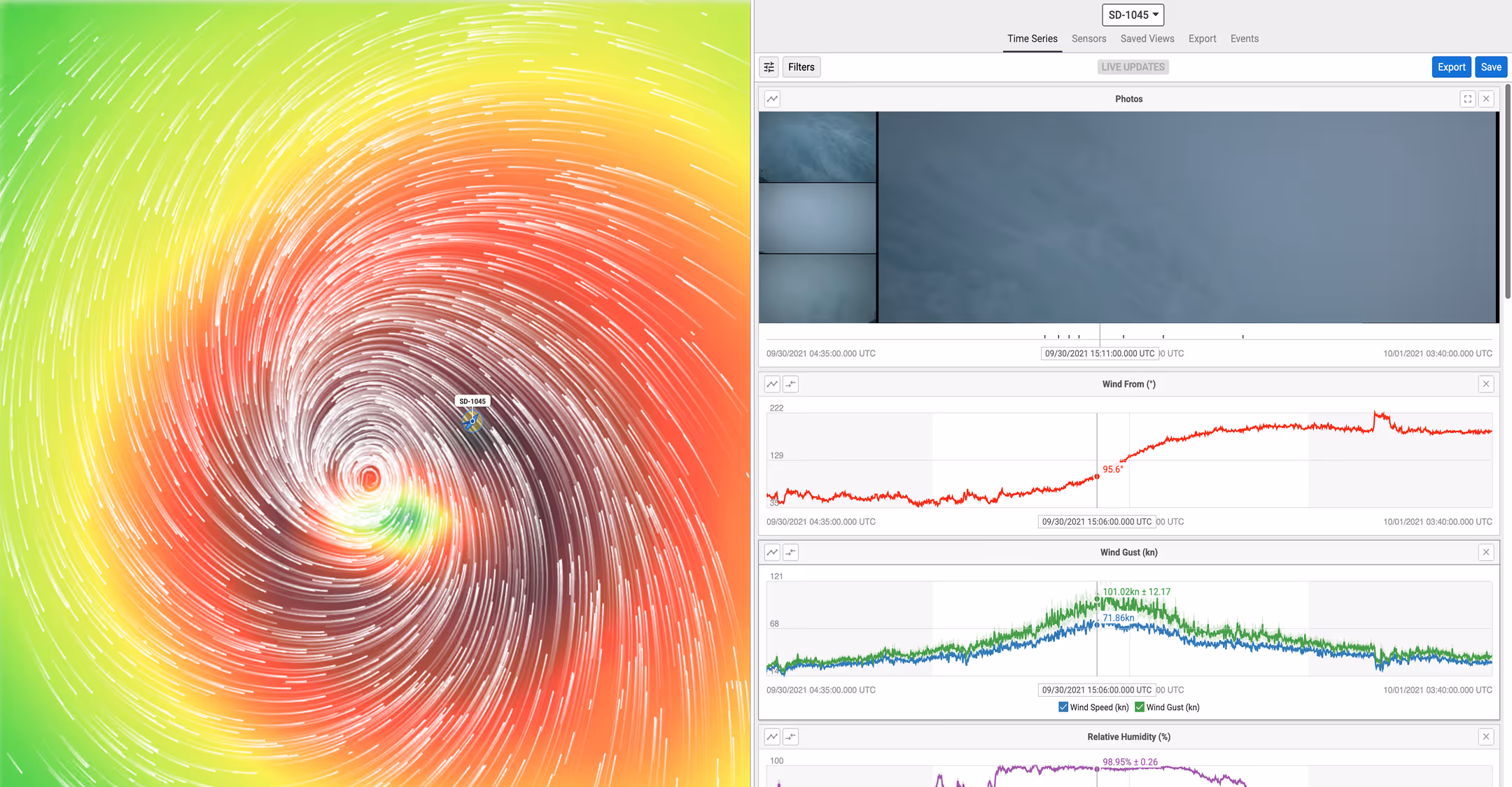
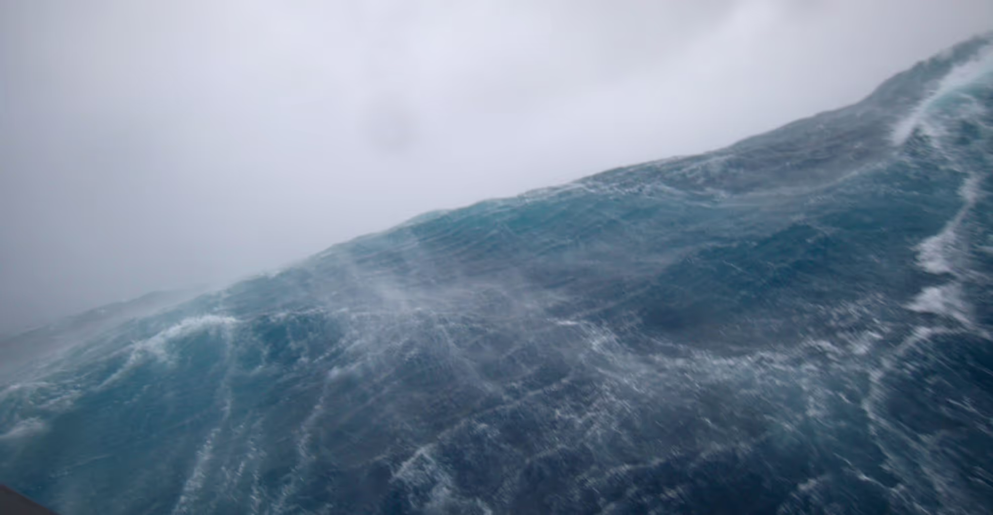
- Real-time observations inside hurricanes, winter storms, and other extreme events
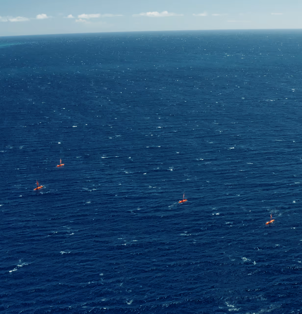
- Wide-area, long-duration, autonomous data collection
- Continuous data streams optimized for assimilation into Navy METOC models and operational decision aids
SENSOR & DATA ARCHITECTURE
Integrated Atmospheric and Oceanographic Measurement Systems
Saildrone USVs carry a standardized suite of METOC sensors combined with precision autonomous navigation and onboard automation. These systems operate continuously to deliver high-quality atmospheric and oceanic observations.
Atmospheric Sensors
Wind speed and direction, barometric pressure, humidity, air temperature, CO₂ concentrations, and other key variables for weather and climate applications.
Oceanographic Sensors
Sea-surface temperature, salinity, dissolved oxygen, chlorophyll, pH, CO₂ flux, wave height and direction, and subsurface profiles via CTD systems.
Extreme Weather Resilience
Proven performance inside hurricanes, winter storms, and high-sea-state conditions—collecting data when satellites and aircraft face limits.
Autonomous Navigation & Station-keeping
Line transects, adaptive routing, and fixed-point missions are executed autonomously without human steering.
Data Delivery
Near-real-time data transmitted through encrypted links to Saildrone Mission Portal or direct integration via API into NOAA or defense METOC systems.
WHY SAILDRONE
Operationally Proven in High-risk Environments
Endurance without refueling
Wind and solar power support months-long missions, enabling sustained observations across ocean basins.
Operational resilience
Saildrone platforms operate in regions that challenge crewed assets—from tropical cyclones to Arctic storms to contested waters.
Data Where the Fleet Needs It
Saildrone fills priority gaps in ocean basins, straits, chokepoints, and approach routes central to Navy and oceanographic operations.
Environmental intelligence for multi-domain operations
Real-time METOC insights strengthen maritime security, enhance ISR, and support fleet decision superiority.
RECENT MISSIONS
Demonstrated Impact in Real-world Missions
For over a decade, Saildrone systems have delivered METOC intelligence globally, including hurricane penetrations, basin-scale ocean observations, and environmental characterization missions that support operational planning and Fleet METOC requirements.