
Year
2024
Operation Area
North Atlantic
Problem
Over 99% of international data transmission relies on subsea cables—thin as a garden hose, yet critical to powering the global internet, financial systems, and secure communications. These cables span depths of up to 8,000 meters (24,000 feet) beneath the ocean’s surface and stretch across more than 1.4 million kilometers (870,000 miles) of seabed—more than three times the distance from Earth to the Moon.
Meticulous planning is essential for laying these cables, requiring precise geophysical and geotechnical data to navigate coral reefs, shipwrecks, marine sanctuaries, and geological hazards. Traditionally, this process has depended on large, crewed survey vessels, often at great financial and environmental cost.
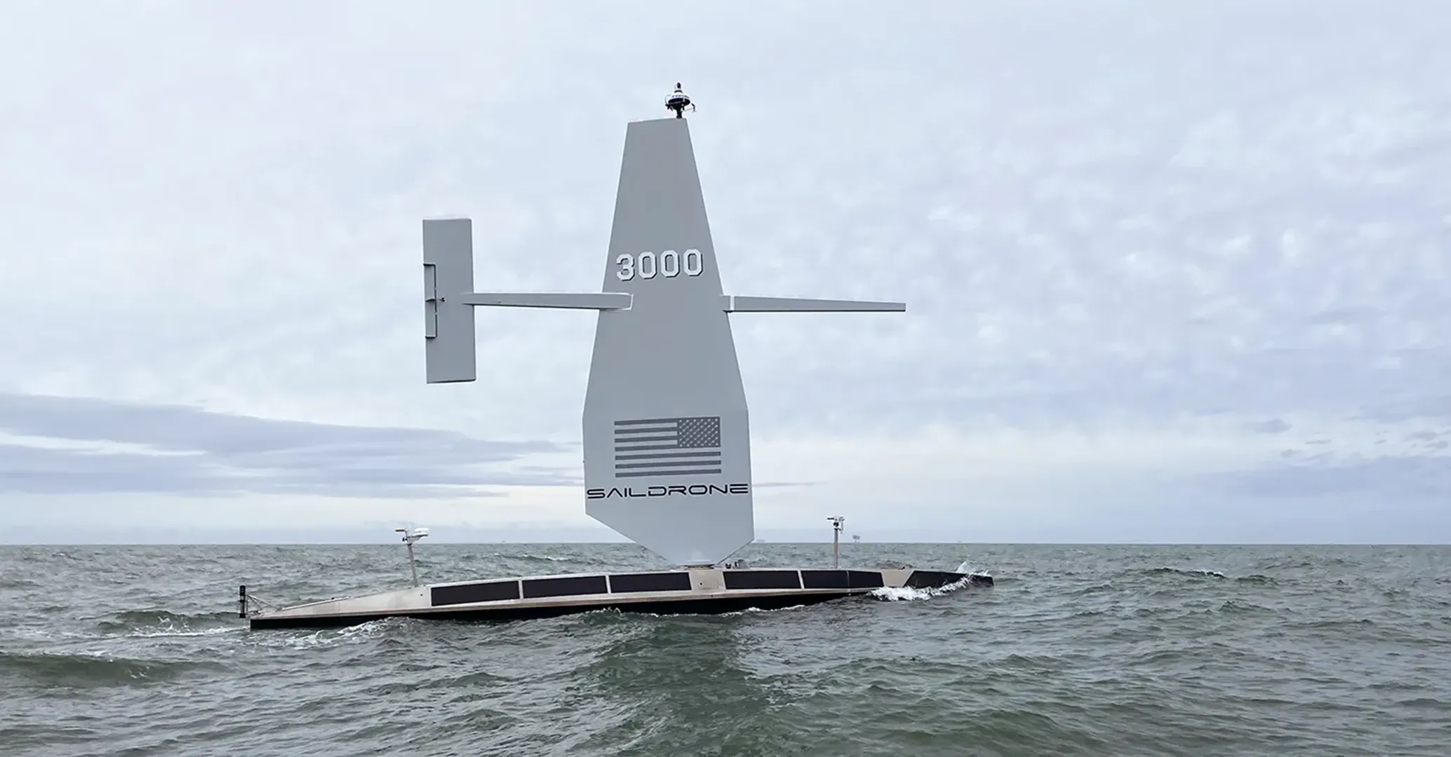
To meet the demand for subsea infrastructure development and the ocean mapping required to support it, Meta sought to evaluate the 20-meter Saildrone Surveyor unmanned surface vehicle (USV) as a viable alternative to traditional deep-water survey vessels for conducting deep-water cable route surveys.
Solution
In June and July 2024, Saildrone and Meta conducted the first autonomous deep-water cable route survey in the North Atlantic using a Saildrone Surveyor. The 26-day demonstration was designed to assess not only whether an uncrewed platform could execute the mission, but whether it could deliver the route fidelity, line keeping, data transmission, and depth accuracy required for commercial cable route surveys.
Operating under sail and motor-sail modes, the Saildrone Surveyor collected high-resolution bathymetric data with a Kongsberg EM304 MKII multibeam sonar along the established Anjana cable route and the recently surveyed Aurora route, enabling direct comparison against traditional crewed survey methods. High-bandwidth satellite communications enabled near-real-time review of survey data from shore.
Outcome
Over the course of the mission, the Saildrone Surveyor mapped more than 4,500 kilometers of complex seabed topography in depths up to 5,500 meters, achieving swath coverage of up to 10 kilometers. The vehicle met or exceeded expectations across key operational metrics, and the data matched legacy surveys with exceptional accuracy.
An important achievement was the dramatic reduction in health, safety, and environmental risks. By enabling remote operations from shore-based or home offices, the mission improved the quality of life for surveyors and engineers, eliminating the need for extended offshore deployments. In terms of emissions, the Surveyor avoided an estimated 243 tons of CO₂ emissions—less than 1/50 of a conventional vessel.
The success of the mission demonstrated a bold new standard for offshore mapping, one that is safer, more sustainable, and more cost-effective, and paved the way for broader adoption of USVs in subsea telecommunications, offshore energy, and national hydrographic programs.
