Known for their 2021 groundbreaking video from inside a category 4 hurricane, Saildrone is broadening its efforts to keep coastal communities in the region safe.
Saildrone’s New Ocean Mapping HQ to Support Critical Florida Coastline Initiatives
Company
Published on
March 2, 2022
Location
St. Petersburg, FL
Read time:
5
Minutes
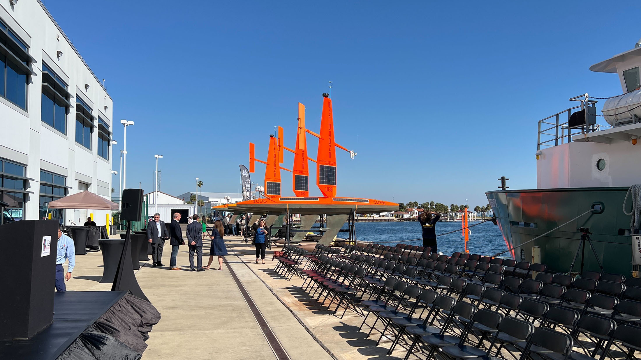
Today, Saildrone announced the opening of their new Ocean Mapping Headquarters and Operations Center in St. Petersburg, Florida. As the global leader in autonomous ocean data collection and comprehensive turnkey data solutions for maritime security, ocean mapping, and ocean data, the new location will significantly expand Saildrone’s presence in the US Southeast.
Situated in the new Maritime and Defense Technology Hub (Hub), part of the St. Petersburg Innovation District, the location will be a permanent deployment site for Saildrone missions. Saildrone hopes to bring all the benefits of their proven technology and uncrewed surface vehicles (USVs) to support critical local initiatives like the Florida Coastal Mapping program whose mission is “accessible, high-resolution seabed data of Florida’s coastal waters to support infrastructure, habitat mapping, restoration projects, resource management, emergency response, and coastal resiliency and hazard studies for the citizens of Florida.”
“We are thrilled to announce our new Ocean Mapping Headquarters in St. Pete. New high-resolution maps of the seabed are essential to help Florida protect communities, grow its blue economy, and facilitate sustainable aquaculture & alternative energy,” said Saildrone founder and CEO Richard Jenkins. “Uncrewed systems can do far more, with far less investment than traditional approaches, so we are excited to play a role in bringing a brighter future to Florida.”
“According to the Florida Ocean Alliance, Florida’s Blue Economy in coastal counties generated more than $797 billion of economic value, or 77% of the state’s more than $1 trillion economy, in a single year,” said Saildrone Vice President for Ocean Mapping Brian Connon. “It is essential that this region is well understood and protected.”
Saildrone has a strong interest in the region and made global headlines in September 2021 for capturing the world’s first video from inside a category 4 hurricane while collecting critical data to help scientists understand hurricane intensification. After demonstrating their capabilities with the world’s first autonomous ocean survey mission from San Francisco to Hawaii in July 2021, Saildrone is confident that modern ocean mapping and a better understanding of the landscape beneath the ocean will help protect human health and infrastructure. Saildrone also plans to deploy maritime security missions from the Hub, helping authorities tackle challenging issues on the water like illegal fishing, which cost the global economy billions each year, and the trafficking of drugs that are devastating communities across the nation.
Contact Us
Jenn Virskus
Director Marketing, Saildrone
Office: (510) 956-8361
jenn.virskus@saildrone.com
About Saildrone
Saildrone designs, builds, and operates commercially developed unmanned surface vehicles for civil, commercial, and government missions. Built to perform in the world’s harshest environments, Saildrone platforms combine AI, advanced sensors, secure communications, and exceptional endurance to deliver persistent, wide-area maritime intelligence and seafloor insight. A modular architecture supports customer- and partner-furnished sensors and mission payloads, enabling multi-domain impact—from power projection and persistent ISR to real-time threat detection and tracking—while reducing cost, risk, and the burden on crewed assets. With proven operational success across the world’s oceans, Saildrone is advancing autonomous maritime operations to give decision-makers and warfighters the enduring advantage they need to act faster and operate farther.