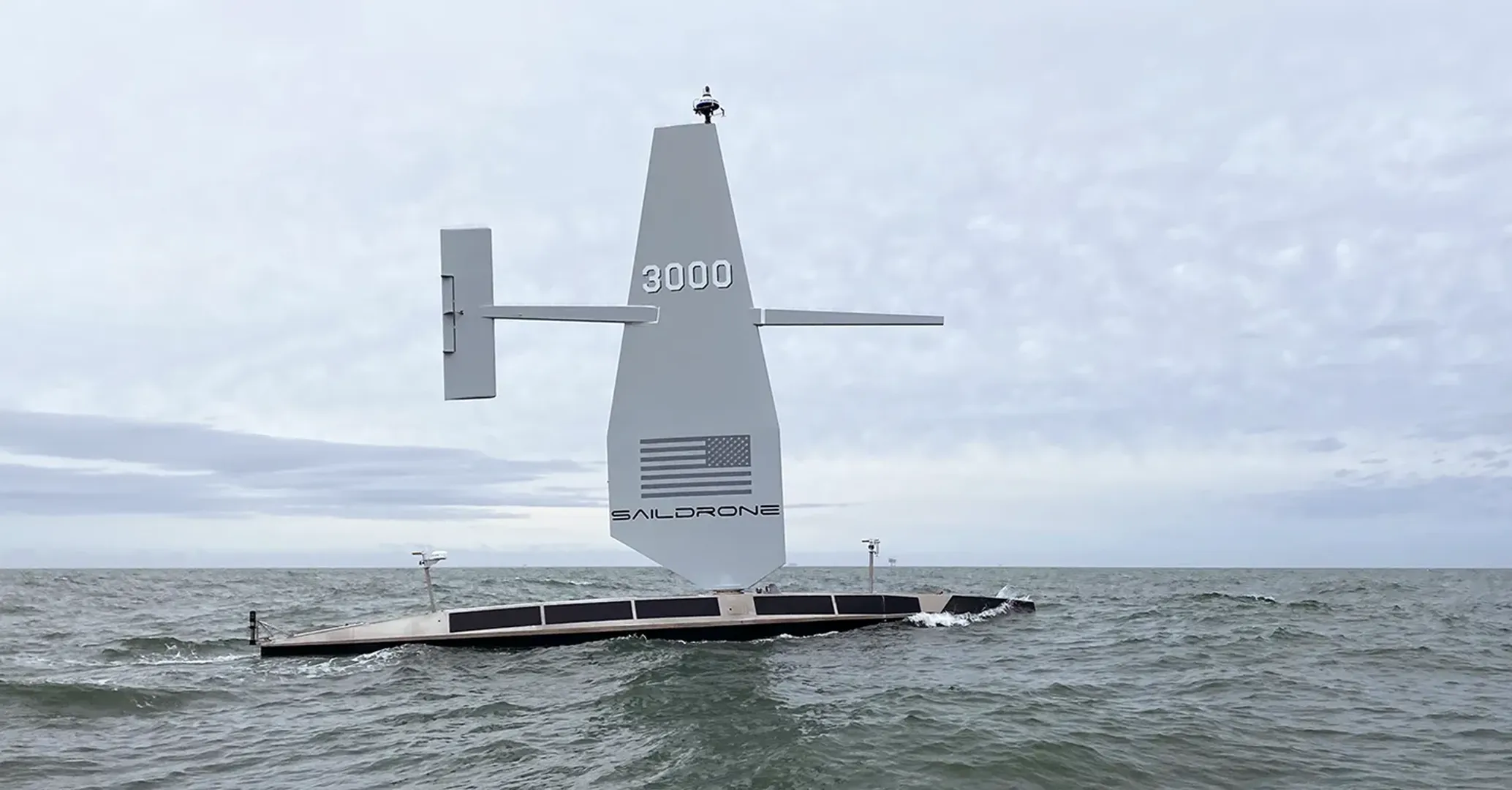
SAILDRONE SURVEYOR
[The Ocean is Contested. Persistence Wins.]
[
WHAT Surveyor DELIVERS
]
Extreme‑range Blue‑water Autonomy for ISR, Mapping, and Kinetic Effects
20m
65.6 FEET LENGTH
80hp
HIGH-EFFICIENCY DIESEL
6Kts
MAPPING SPEED

SURVEYOR
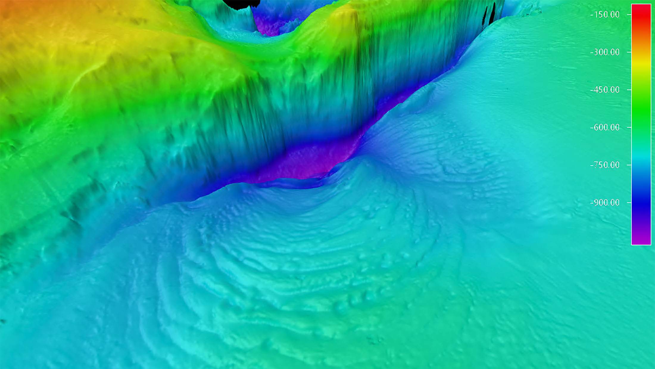
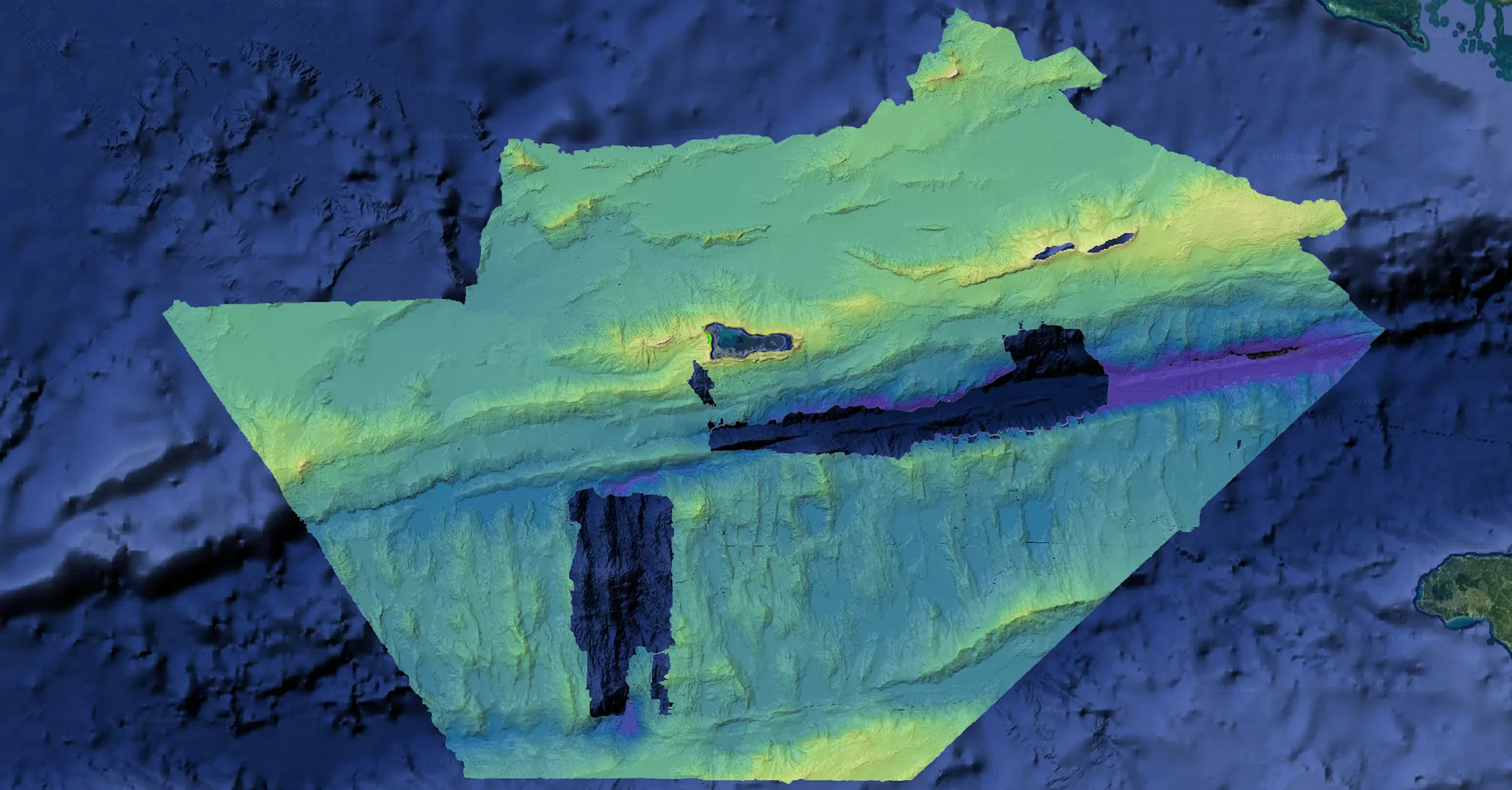
A 20-meter unmanned surface vehicle built for global defense missions. Surveyor provides persistent maritime intelligence, surveillance, and reconnaissance (ISR), deep-ocean mapping for undersea advantage, and the capability to support distributed, long-endurance power projection.
Designed for months at sea, Surveyor fuses radar, EO/IR, ML-based detection, passive acoustics, AIS, and high-power oceanographic payloads to operate independently across the world’s harshest environments.

[
Specs
]
Vehicle
Specifications
A High‑capacity Platform for Advanced Sensor and Effector Integration
Whether equipped for ISR, subsea mapping, acoustic sensing, or sea control missions, Surveyor provides the endurance and power required for complex payloads.
LENGTH
20 m
WING HEIGHT
13 m
DRAFT
3.6 m
PRIMARY PROPULSION
80 hp high-efficiency diesel
AUXILIARY PROPULSION
Wind (Saildrone Wing)
MAPPING SPEED
6 knots
ENDURANCE
100 days between service stops
PAYLOAD POWER
3 kW steady state
6 kW peak
6 kW peak