
Year
2024-2025
Operation Area
Caribbean Sea
Problem
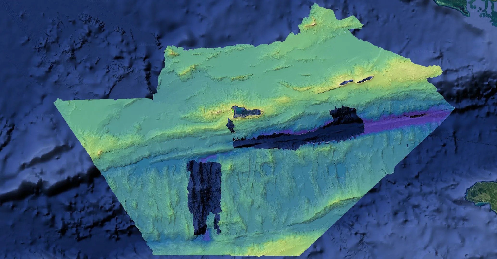
Extending 200 nautical miles from the coastline, the Cayman Islands’ exclusive economic zone (EEZ) is 357 times the area of the islands themselves. Accurate, modern bathymetric data is essential for managing and protecting the natural resources within a nation’s EEZ. Prior to the project, only ~20,000 km² of the EEZ had been surveyed with modern multibeam sonar, concentrated around the Cayman Trench.
The goal of this mission was to deliver a modern baseline dataset to support maritime navigation and charting, sustainable fisheries, offshore energy planning, resource and mineral evaluation, and protection of vulnerable marine ecosystems.
The mission was philanthropically funded by the London & Amsterdam Trust, with the intent of leaving a lasting legacy for the Cayman Islands.
Outcome
Saildrone completed autonomous multibeam mapping across the Cayman Islands EEZ, surveying ~90,000 km² across depths from 20 m to 7,000 m, including priority coverage of four key fishing banks: 60 Mile Bank, Lawfords Bank, Pickle Bank, and 12 Mile Bank.
All raw bathymetric, backscatter, and ocean-profile data will be transferred to the UK Hydrographic Office (UKHO) for processing and chart updates. Additionally, a low-resolution dataset will be provided to Seabed 2030.
Operationally, the mission encountered significant challenges, including unprecedented sargassum blooms and severe weather; Saildrone developed new SVP-clearing approaches and enhanced remote diagnostics to detect biofouling early, and validated the platform’s ability to remain on survey up to sea state seven.


