Surveying Ice, CO2 & Fisheries in the Arctic
Tracking melting ice, measuring CO2, and counting fish, seals, and whales to better understand behavior and population in the Bering and Chukchi Seas.

The Problem
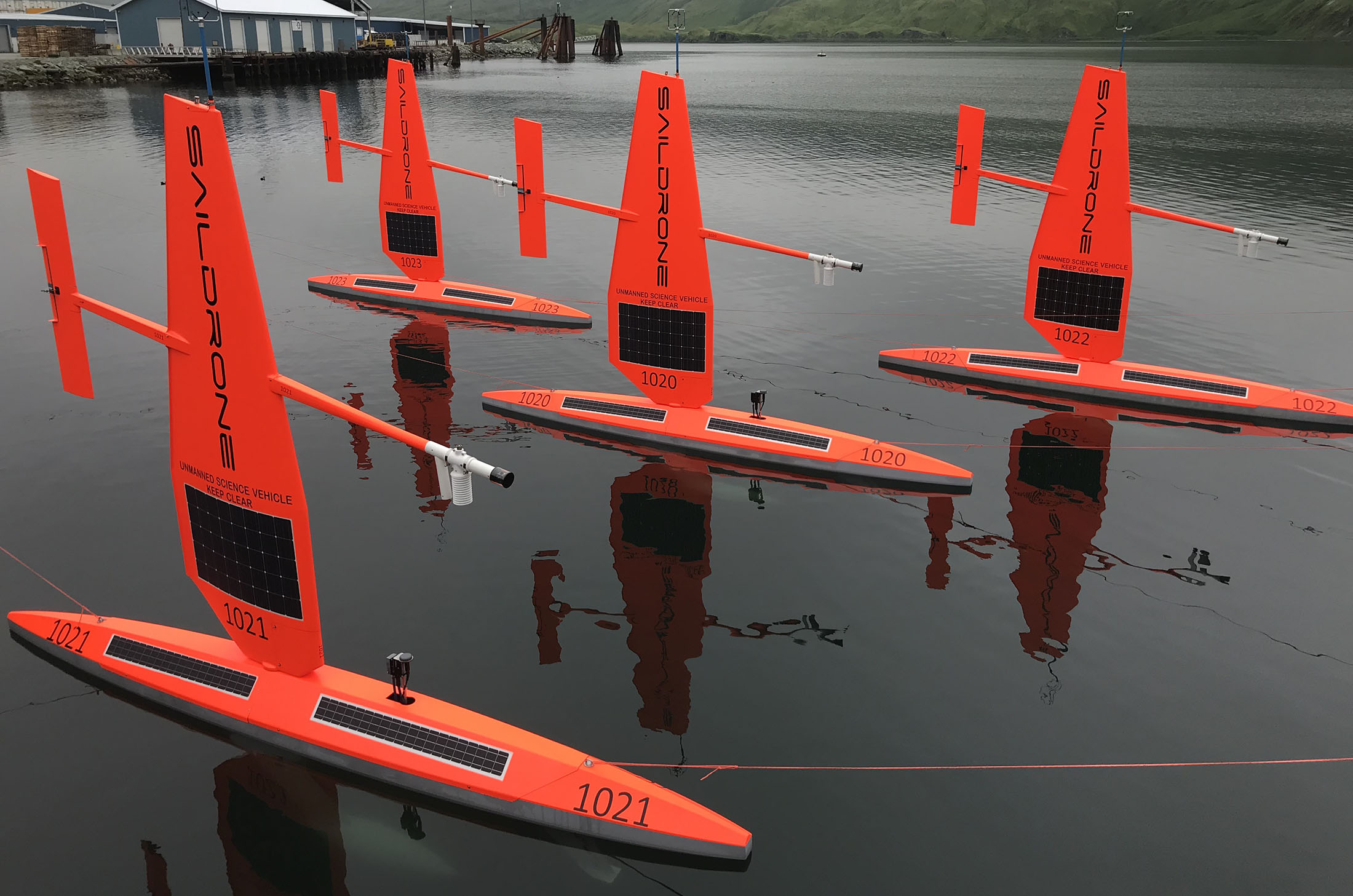
Saildrone began a partnership with the National Oceanic and Atmospheric Administration (NOAA)’s Pacific Marine Environmental Laboratory (PMEL) under a Cooperative Research and Development Agreement to develop and refine the Saildrone uncrewed surface vehicle (USV) sensor suite for high-quality oceanic and atmospheric data collection. In 2015, a series of missions to the US Arctic was launched as part of the Innovative Technology for Arctic Exploration (ITAE) program.
Annual missions were performed 2015 – 2018 focusing on a range of science objectives: studies of sea surface temperature and salinity (2015); acoustic fisheries surveys (2016 – 2018) and examination of the marine predator/prey relationship of northern fur seals (2016 – 2017); tracking the elusive North Pacific right whale (2016 – 2017), and studying air-sea carbon fluxes (2017 – 2018).
Outcome
This series of missions gathered measurements to identify ongoing changes to the Arctic ecosystem and how those changes may affect the food-chain as well as large-scale climate and weather systems, as well as explored the capabilities and limitations of the Saildrone platform.
In 2016, the Saildrone USVs spent 65 days tracking foraging northern fur seals, including several focal follows, during which the USVs followed tagged animals for more than 80 hours and 210 kilometers (130.5 miles). Researchers attached video cameras on the seals to record feeding behavior and verify the species and sizes of fish the fur seals are eating, which was combined with Saildrone data to better understand this declining population.
“The saildrone lets us go out and measure all of these fish—where they are, how much is available—when the seals need it. We can look at really specific relationships between where the seals are and what the fish look like. We don’t have to rely on assumptions that the data that was available a few months before is still valid. We get to tease apart the relationships in real time.”


Start Your Mission Today
Contact us now to discuss your mission requirements.