Augmenting Ship-based Fish Stock Surveys
A 100-day mission from Vancouver Island to San Diego to assess fish stocks, count marine mammals, and test how uncrewed surface vehicles can augment ship-based sampling.

The Problem
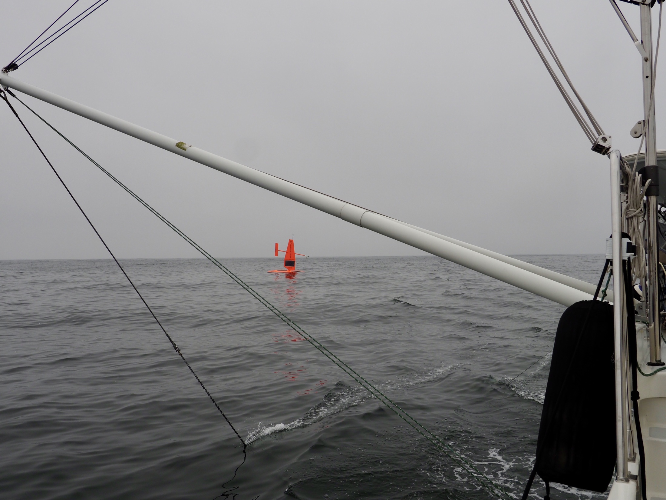
The 2018 West Coast Fisheries Survey is the first time autonomous wind and solar-powered vehicles have been used to gather essential data on fish populations. Five saildrones traveled more than 18,500 nautical miles over 100 days along the US west coast. Four of the saildrones duplicated the path of the NOAA research vessel Reuben Lasker collecting data on sardine, anchovy, and hake, one of the West Coast’s most valuable commercial fisheries. The fifth saildrone collected data close to shore in areas too shallow for the ship to safely navigate.
Outcome
This novel survey combined observations of zooplankton, fish, marine mammals, and seabirds throughout the California Current Ecosystem to help scientists directly estimate the amount of fish and krill consumed by their natural predators.
“This survey was novel because it combined observations of zooplankton, fish, marine mammals, and seabirds throughout the California Current Ecosystem. In this way, we may be able to directly estimate the amount of fish and krill consumed by their natural predators.”


Start Your Mission Today
Contact us now to discuss your mission requirements.