How Do We Know How Much Carbon the Ocean Absorbs?

Saildrone’s global fleet of USVs is collecting critical data to help scientists better understand how increased atmospheric carbon is driving rising global temperatures.
Science

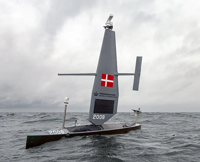
A Saildrone USV carrying an ASVCO2 sensor. Photo: Arne Körtzinger/GEOMAR.

Accurate knowledge about the sources of CO2 emissions and where they are going is critical to the ongoing development of climate policies and projecting what the future climate will look like. The Global Carbon Budget tracks anthropogenic CO2 emissions and their redistribution among the atmosphere, ocean, and land. However, uncertainties remain, due to a lack of data, that hinder both research seeking to better understand the global carbon cycle and efforts to independently verify reported CO2 emissions. To refine our understanding of how much atmospheric carbon the planet—and the life it supports—can tolerate, we must significantly increase observational data collection, especially in remote, chronically undersampled regions.

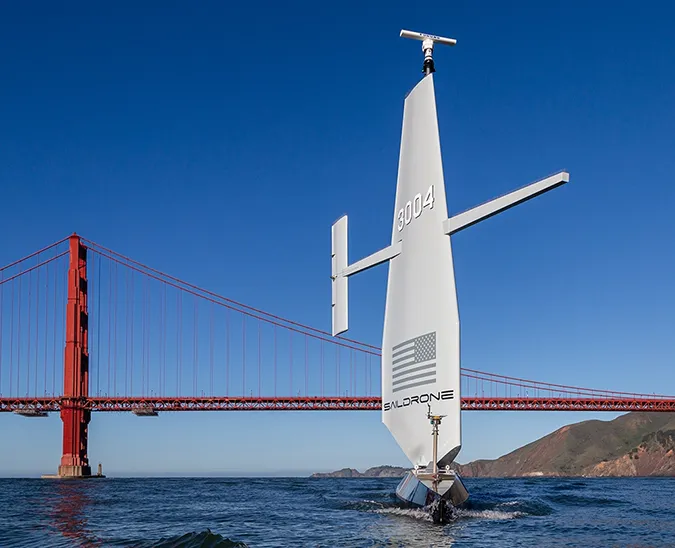
The Saildrone Explorer is a 23-foot uncrewed surface vehicle (USV) designed to collect data in the harshest ocean environments. In addition to the standard suite of oceanographic and meteorological sensors, Saildrone USVs for CO2 sampling are equipped with an ASVCO2 sensor developed by the National Oceanic and Atmospheric Administration (NOAA)’s Pacific Marine Environmental Laboratory (PMEL) and integrated into the Saildrone platform through a public-private partnership. With this sensor, the Explorer provides persistent monitoring of air-sea carbon exchange anywhere in the ocean.

Saildrone has completed several CO2-specific missions in the Arctic, Tropical Pacific, Atlantic and Southern Oceans, and the Mediterranean Sea.


2022 Gulf Stream: Improving Long-Range Weather Forecasting & Global Carbon Models

Saildrone’s 2022 Gulf Stream mission creates a first-of-its-kind data set: Three Saildrone USVs were deployed from Newport, RI, to spend the six months sailing back and forth across the Gulf Stream collecting ocean data to improve weather forecasting and reduce uncertainties in how much carbon dioxide the ocean absorbs. 

Principal investigator Jaime Palter and her team at the University of Rhode Island are using the data collected during the mission to make maps of air-sea carbon exchange across the Gulf Stream at an unprecedented resolution. The maps will provide more precise information about carbon uptake in the Gulf Stream and a better understanding of the mechanics of that process.

Read Improving Long-Range Weather Forecasting & Global Carbon Models with Autonomous Vehicles


2019-2020 Atlantic to Mediterranean: Connecting remote CO2 infrastructure

The goal of this historic nine-month mission from Cabo Verde, off the coast of West Africa, through the Strait of Gibraltar, and to Trieste, Italy, at the top of the Adriatic Sea, was to collect CO2 measurements for cross-calibration at remote fixed ocean stations. The validation and calibration of both data and instruments at thes remote locations is vital to ensure data is of the highest possible quality.

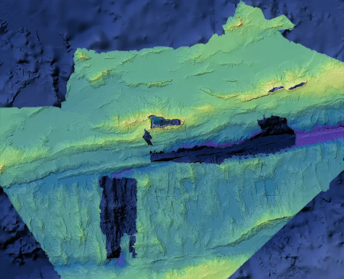
Led by the Integrated Carbon Observation System, Ocean Thematic Center (ICOS OTC) based in Bergen, Norway, the mission collected data at nine fixed ocean stations—CVOO (Cabo Verde), ESTOC (Gran Canaria), LION (France), ANTARES (France), DYFAMED (France), W1M3A (Italy), E2M3A (Italy), PALOMA (Italy), and Miramare (Italy)—and included several sub-missions with local partners, for example, looking potential CO2 emissions in an area of volcanic activity around the Aeolian Islands.

Read Atlantic to Med: An Historic 5,000+ Nautical Mile Voyage for Science


2019 Antarctic Circumnavigation: Direct wintertime measurements of CO2 in the Southern Ocean

The Southern Ocean is one of the global science community’s largest “blind spots” in terms of climate knowledge due to a serious lack of observations, especially during the harsh winter months. Saildrone’s 2019 Antarctic Circumnavigation not only demonstrated the ability of the vehicle to survive the Southern Ocean but also produced direct measurements of air-sea carbon exchange that showed the Southern Ocean may not be absorbing as much carbon as previously thought.

Read Saildrone Completes First Autonomous Circumnavigation of Antarctica


2017-2019 Arctic: Establishing a baseline for climate change

The Arctic is one of the most understudied and rapidly changing environments in the world. The region, which has for millenia been covered much of the year with sea ice that hindered exploration, is increasingly accessible, despite its remote nature, as global temperatures increase. 

Increased levels of carbon in the ocean lead to ocean acidification, and ocean acidification is happening faster in the Arctic than anywhere else. Ocean acificication affects the entire ocean ecosystem, for example the ability of shell-building animals like Alaskan king crabs to construct and maintain their shells. Saildrone collected data to help establish a baseline of understanding for the rate of change in the Arctic.

Read Extending Ship-Based Surveys in the Arctic with Ocean Drones

Resources

Never Miss an Update

Stay informed with the latest research findings and updates.

By clicking Sign Up you're confirming that you agree with our Privacy Policy

Thank you! Your submission has been received!
Oops! Something went wrong while submitting the form.