

Thank you! Your submission has been received!
Oops! Something went wrong while submitting the form.
 Missions
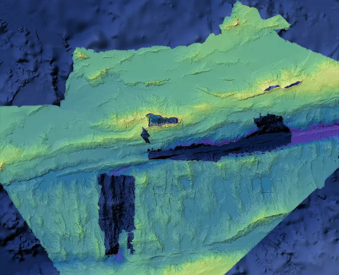
Mapping the Cayman Islands’ EEZ: Lessons Learned From a First-of-Its-Kind Autonomous Survey
Saildrone mapped 90,000 square kilometers of seafloor, supporting fisheries management, offshore energy planning, resource exploration, strengthening maritime security, and protecting fragile habitats.
Missions
 Technology
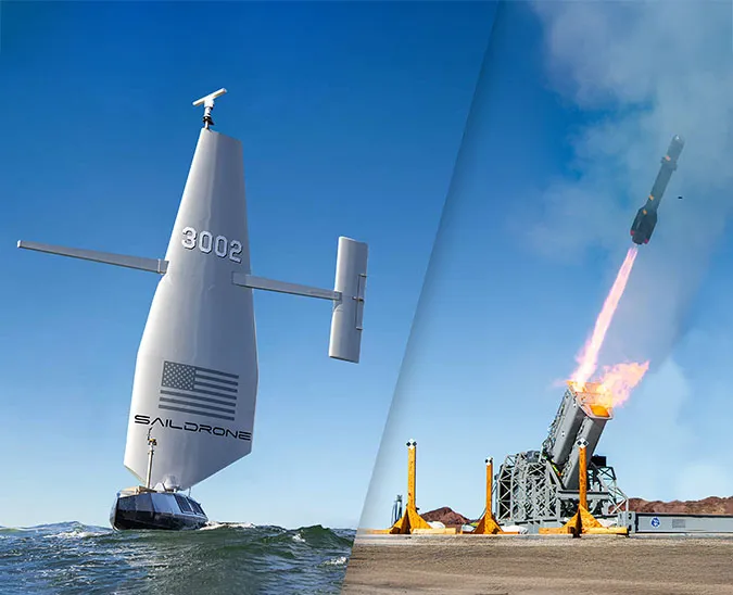
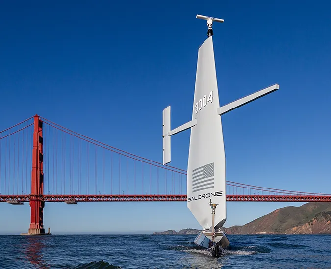
American Bureau of Shipping Issues Full Classification for Saildrone Surveyor, Setting a New Benchmark in the Safety and Reliability of Autonomous Systems
Saildrone USVs are the world’s only unmanned platform to receive classification from ABS—no other USV or UUV has been fully classed by any classification society.
Technology


Never Miss an Update
Stay informed with the latest research findings and updates.
Thank you! Your submission has been received!
Oops! Something went wrong while submitting the form.