Published on
Author
The Adriatic Sea, an elongated body of water between the Italian peninsula and the Balkans, takes in up to one-third of all freshwater flow into the Mediterranean Basin. The Adriatic can be divided into three sections of increasing depth from north to south, each with different characteristics and circulation features. The E2M3A ocean station is positioned 60 nautical miles from the Italian coast in the center of the south gyre over the 1,200-meter (3,900-foot) deep South Adriatic Pit. In this area, vertical mixing (upwelling, wintertime convection) plays a prominent role in homogenizing the physical and chemical properties of seawater, controlling primary production.
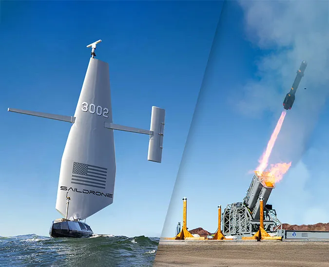
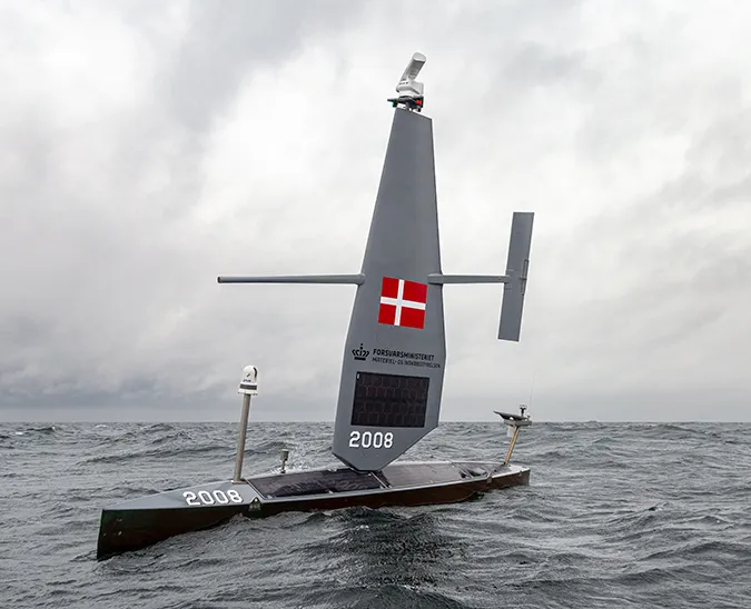
During the 2019-2020 Saildrone Atlantic to Mediterranean (ATL2MED) mission, Italy’s Istituto Nazionale di Oceanografia e di Geofisica Sperimentale (OGS) led a study to collect high-resolution physical and biogeochemical data around E2M3A, one of the longest open-sea time series in the Adriatic, which will be used to look more closely at long-term changes in the region in response to local climatic forcing.
“The station aims to study deep water formation through open sea convection to better understand the processes influencing the carbonate system, especially during winter cooling when dense waters are formed, i.e. the study of the physical pump for the transfer process of the CO2 to deep waters and how acidification is impacting Adriatic waters,” said Dr. Vanessa Cardin of the OGS – Experimental Oceanography Group and principal investigator for the E2M3A observatory. “The increased spatial monitoring (Lagrangian measurements) that will be carried out by the saildrones around the station will allow us to compare them with the Eulerian data. In addition, we will compare our oxygen, thermohaline, and current data with those measured by the saildrones.”

The survey allowed researchers to investigate mesoscale biogeochemical variability between stations as well as compare the pCO2 sensors—the Pro-Oceanus deployed at the site and the NOAA PMEL ASVCO2 carried by the saildrones.
OGS then led a saildrone-glider inter-comparison study: The two ATL2MED saildrones and one subsurface glider made several round trips along a transect roughly between Bari, Italy, and Dubrovnik, Croatia. This transect, which passes E2M3A, is usually covered by gliders during the fall and winter when conditions are characterized by strong gusty cold and dry wind to better understand the deep convection mechanism that takes place in the area. The saildrones will provide surface observations to complement the subsurface glider observations.
“This study is interesting to understand the impact of the inflowing and outflowing water masses that generally affect respectively the east and the west part of the Pit,” said Dr. Elena Mauri, head of the glider section at OGS and the sub-mission’s principal investigator. “The glider and saildrone inter-comparison will help to get a better view of spatial variability in the region of the pit and strengthen the interpretation of the processes involved in the carbon cycle. I believe that this is an important step towards building a more integrated network of sustainable observing systems.” The glider study was made possible with the help and collaboration of Dr. Mirna Batistic of the University of Dubrovnik.
The South Adriatic Saildrone-Glider Inter-Comparison study is the second to last objective before the saildrones complete the more than 5,000 nautical mile ATL2MED mission in Trieste. The mission began with an eddy survey near Cabo Verde before the saildrones traveled north along the west coast of Africa and entered through the Mediterranean through the Strait of Gibraltar. The primary objective of the mission was to connect European Research Infrastructure including the ESTOC ocean station and the MONIZEE oceanic buoy in the Atlantic and LION, ANTARES, and DYFAMED in the Mediterranean. The saildrones will sail next to conduct CO2 measurement comparisons with the PALOMA and MIRAMARE ocean stations.
ATL2MED is a collaboration between Saildrone and more than two dozen oceanographic research institutions from seven countries to address a variety of scientific objectives, generously sponsored by PEAK6, a private technology and investment firm started by Jenny Just and Matt Hulsizer.


