Published on
Author
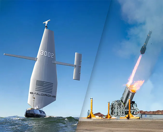
Saildrone and the National Oceanic and Atmospheric Administration (NOAA)’s Northwest and Southwest Fisheries Science Centers have wrapped up the second joint integrated survey of the US West Coast, collecting data on Pacific hake and five coastal pelagic species integral to the California Current Ecosystem. The mission follows up last year’s successful 100-day mission to survey these fish stocks, count marine mammals, and test how unmanned surface vehicles (USVs) can augment ship-based sampling.
The 2018 mission consisted of five saildrones working alongside the NOAA fisheries survey vessel Reuben Lasker; the 2019 mission, which was launched in June, combined the efforts of seven saildrones and research teams onboard the NOAA FSVs Bell M. Shimada (NWFSC) and Lasker (SWFSC) to survey the full length of the US West Coast from San Diego, CA, to Cape Flattery, WA. The 2019 mission was completed in just 60 days and included more granular coverage near shore, to depths as shallow as seven meters (23 feet), as well as transect extensions up to 140 nautical miles (260 kilometers) offshore.

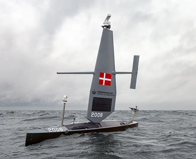
Fish stock surveys are traditionally carried out by ships equipped with trawl nets and/or echo sounders. The saildrones involved in these fisheries missions are equipped with Simrad EK80 echo sounders in addition to the standard sensor suite, which includes instruments to record oceanographic, biogeochemical, and meteorological metrics above and below the sea surface.
The four saildrones working with the Shimada south to north aimed to duplicate the ship’s transects while collecting acoustic data to estimate the distribution and abundance of Pacific hake, a commercially valuable fish; this information is needed by fishery managers to make better decisions about future harvests. For meaningful comparison of data collected by the Shimada and the saildrones, the vessel and the vehicles had to remain relatively close in space and time. However, while the Shimada motors at a speed of 10 – 11 knots and the research team appreciates calm conditions, saildrones sail at three to five knots (a brisk walking pace) and are increasingly animated by stronger wind.
“What made the 2019 survey unique was the close adherence to the requirement that the saildrones stay within three to five days of the Shimada. It was one of the most challenging aspects of the mission requiring a lot of planning and constant communication, but it came off very well thanks to active cooperation on both sides and the responsiveness of the team at Saildrone Mission Control,” said Dr. Sandy Parker-Stetter, a supervisory research fish biologist at NWFSC.

Smaller fish species like sardine, anchovy, mackerel, and herring are an important food source for numerous species of larger fish, seabirds, and marine mammals. The three saildrones working with the Lasker north to south extended SWFSC’s 2019 California Current Ecosystem Survey (CCES) to include sampling closer to shore and farther offshore than previous years. The goal was to collect data on target species in areas too shallow for the Lasker to safely navigate, as well as in offshore areas that have not been routinely surveyed to date.
“In summer 2019, saildrones allowed us to more comprehensively sample the geographic ranges of forage-fish populations in the California current, which is a particularly important thing to do during the recent transition of dominant species, from sardine to mackerels to anchovy,” said Dr. David Demer, a supervisory senior scientist at SWFSC.
Over the course of these two West Coast Fisheries missions, as well as fisheries missions in the Arctic and the North Sea, the Saildrone USV has proved to be a valuable platform for acoustic data collection using the EK80 echo sounder. However, most fisheries acoustic surveys also require trawl information to validate acoustic targets, and some assessments, such as that of Pacific hake, are aged based. For that reason, trawl samples and ship-based analyses are required to provide a complete evaluation of available stock.
NWFSC’s 2019 cruise on the Bell M. Shimada explored several emerging technologies, including sampling for Harmful Algae Blooms (HABs), studying phytoplankton using an Imaging Flow CytoBot, and collecting water samples for environmental DNA (eDNA). Every organism sheds tiny amounts of tissue and waste into its environment, be that air, water, or sediment. By performing genetic analysis on eDNA, scientists can identify and potentially quantify the organisms present in the water at a given location. Using samples from this mission, researchers will investigate how eDNA from Pacific hake travels through the ocean system, as well as the potential of eDNA analysis as a tool for assessing hake populations.
Both the ships and the saildrones are now safely back in port, and the work to fully analyze the extensive data sets has begun. The nearshore and offshore data collected by saildrones in 2019 have already contributed to the survey estimates of seven stocks of five species of forage fish. Meanwhile, Saildrone continues to expand its fisheries support globally, from the Arctic to the Antarctic, in the Pacific and Atlantic Oceans. Earlier this year, we completed our first fisheries mission in the North Sea, surveying sandeel and saithe in partnership with Norway’s Institute of Marine Research (IMR), and in October, we completed our first crustacean tracking mission, tracking tagged Alaska red king crab in the Bering Sea. We’ll resume that mission in the spring to study how crabs move through the seasons.
Resources
“Acoustic and trawl adventures in the Northeast Pacific,” NOAA Northwest Fisheries Science Center, accessed November 19, 2019
“2019 California Current Ecosystem Survey (CCES),” NOAA Southwest Fisheries Science Center, accessed November 19, 2019
“Saildrone Launch Begins Test to Improve West Coast Fisheries Surveys,” NOAA Fisheries, June 28, 2018