Published on
Author
Last summer, Saildrone and the National Oceanic and Atmospheric Administration (NOAA) sent five uncrewed surface vehicles (USVs) “storm chasing” the Atlantic Ocean to improve hurricane forecasting. One of them sailed through the eye of category 4 Hurricane Sam. Battling massive waves and winds over 100 mph, the vehicle not only survived intact but sent back the first-ever live video footage from inside the eye of the storm, marking a new era of hurricane observation.
This year, Saildrone will collect critical data from both the Atlantic Ocean and the Gulf of Mexico expanding the potential impact of the mission. This week, supported by NOAA’s Global Ocean Monitoring and Observing Program, two vehicles were deployed into the Gulf—one from Saildrone’s Ocean Mapping Headquarters in St. Petersburg, FL, and one from Port Aransas, TX. Earlier this month, the other five vehicles were deployed into the Tropical Atlantic from Jacksonville, FL, and the US Virgin Islands.

“We are excited to expand this effort to collect vital data in both the Atlantic and the Gulf of Mexico. We opened our Florida office earlier this year to support exactly this kind of mission, as well as our goal of mapping the entire sea floor around Florida,” said Saildrone CEO Richard Jenkins. “Combining in situ ocean data with a better understanding of the ocean floor will help us predict both storm intensity and storm surges, keeping our coastal communities safer from these destructive events.”
NOAA predicts an above-average 2022 hurricane season, with up to 21 named storms and three to six major hurricanes. Hurricanes don’t only present a persistent threat to human safety in coastal cities, they also present a significant economic impact—hurricane damage in the US is estimated at around $54 billion annually.
Hurricane track forecasting has steadily improved in recent years but one of the biggest challenges that still remains is predicting rapid intensification—when wind speeds increase at least 35 mph over a 24-hour period.
“This season, NOAA will work with numerous partners to gather oceanic and atmospheric observations using a suite of platforms to monitor the conditions that play a role in hurricane intensity changes,” said John Cortinas, Director of NOAA’s Atlantic Oceanographic and Meteorological Laboratory (AOML). “Storms that intensify rapidly can cause extensive damage and loss of life and real-time observing systems are crucial to better understanding the atmospheric and oceanic processes that lead to the formation and intensification of these hurricanes.”
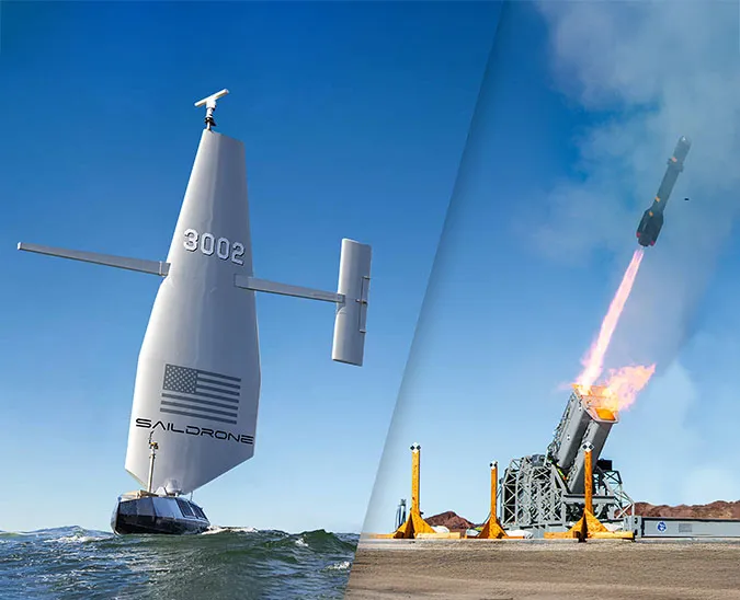
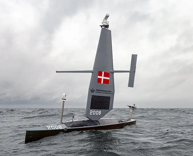
Saildrone Explorers, specifically designed to withstand the extreme conditions that occur during a hurricane weather system, are the only USVs capable of collecting this type of data. Saildrone vehicles are highly maneuverable, wind and solar-powered vehicles designed for long-range meteorological and oceanographic data collection missions.
The vehicles will operate in seven designated areas, pre-selected by Saildrone’s science partners at NOAA’s AOML and Pacific Marine Environmental Laboratory (PMEL). Each vehicle will transmit in situ meteorological and oceanographic data in real time, including air temperature and relative humidity, barometric pressure, wind speed and direction, water temperature and salinity, sea surface temperature, and wave height and duration.
The data collected will be provided directly to AOML and PMEL. It will also be ingested in the Advanced Weather Interactive Processing System II, a visualization tool, for use by NOAA’s National Hurricane Center forecasters and field offices during the 2022 hurricane season.

“The air-sea interface is where energy is transferred from the warm ocean to hurricanes, but it’s not the whole story,” said Greg Foltz, a NOAA AOML scientist. “Conditions in the subsurface ocean and lower atmosphere affect the rate of energy transfer and the efficiency with which it can fuel a hurricane's intensification. To understand this flow and exchange of energy, coordinated measurements from multiple ocean-atmosphere observing platforms are needed.”
The seven saildrones are a part of a larger NOAA endeavor to understand hurricane intensification. They will join an array of underwater gliders, surface drifters, profiling floats, and aerial assets to collectively gain deeper insight than ever before into the development of these killer storms. AOML scientists onboard NOAA’s P-3 and Gulfstream IV Hurricane Hunter aircraft will help gather weather observations from hurricanes, and the P-3 will also launch small uncrewed aerial systems to sample the atmosphere above.

“Uncrewed marine and aircraft systems have the potential to transform how NOAA meets its mission to better understand the environment,” said Capt. Philip Hall, director of NOAA’s Uncrewed Systems Operations Center. “These exciting emerging technologies provide NOAA with another valuable tool that can collect data in places we can’t get to with other observing systems.”
Saildrone has a proven history of operating successful missions in the world’s harshest environments, with over 18,000 days at sea sailing 800,000 nautical miles from the Arctic to the Southern Ocean. Saildrone currently has ongoing missions in every ocean on Earth, providing data for a range of purposes, from studying the role of the Gulf Stream in the global carbon cycle to improving the prediction of El Niño weather events in the Tropical Pacific.
Resources
NOAA Research News, "NOAA and Saildrone Launch Seven Hurricane-tracking Surface Drones," research.noaa.gov, Aug 3. 2022