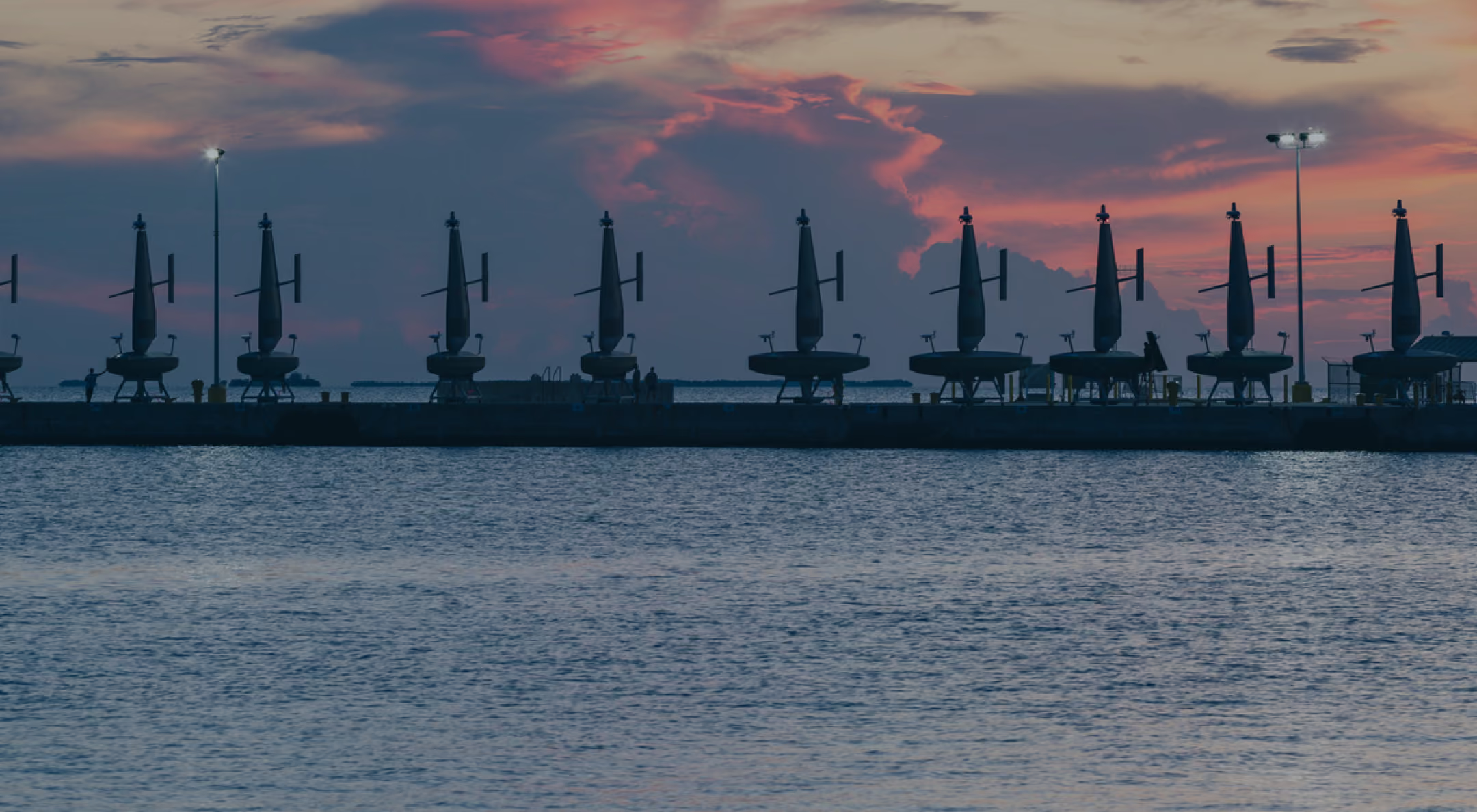
From maritime intelligence and naval operations to seafloor mapping and ocean science, Saildrone's autonomous surface vehicles are designed to deliver critical capabilities across the world's oceans.
What Is a Saildrone and How Does It Work?
Published on
June 20, 2016
Read time:
5
Minutes
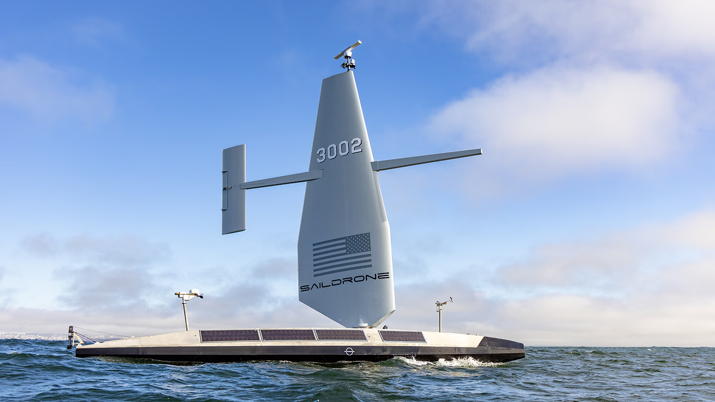
A saildrone is an unmanned surface vehicle (USV) designed, built, and operated by Saildrone to conduct a variety of missions at sea. Saildrone USVs navigate autonomously while collecting data about the environment and nearby maritime activity.
Saildrone’s fleet spans four platform classes, from the 7-meter Explorer used for ocean and atmospheric observations to the 52-meter Spectre designed to support a range of payloads and third-party capabilities. Each platform combines onboard autonomy with human oversight, while propulsion systems, sensors, and mission payloads vary according to operational requirements.
Together, Saildrone USVs deliver maritime intelligence, seafloor mapping, and environmental observations to governments and organizations around the world, while newer platforms are expanding the role of autonomous systems in naval operations.
What types of Saildrone USVs are there?
Saildrone has developed four classes of unmanned surface vehicles, each designed for different operating environments, mission requirements, and capabilities.
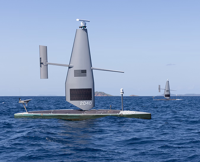
Saildrone Explorer is a 7-meter (23-foot) USV designed for long-duration ocean and atmospheric observations. Primarily propelled by wind, Explorer can operate at sea for up to 12 months without a crew or support vessel. Its endurance makes it particularly valuable for collecting scientific and meteorological data in remote or dangerous environments, including inside hurricanes, across the Arctic, and throughout the Southern Ocean. Explorer missions support weather forecasting, climate research, fisheries science, and ocean monitoring.
Saildrone Voyager is a 10-meter (33-foot) USV designed for maritime security, coastal surveillance, and shallow-water mapping. Equipped with advanced sensing and communications systems, Voyager can detect, classify, and track maritime activity over extended periods. Voyager supports naval and coast guard missions including border security, counter-narcotics operations, illegal fishing detection, and maritime domain awareness. It can also conduct high-resolution seafloor surveys in coastal waters.
Saildrone Surveyor is a 20-meter (65-foot) USV designed for extended operations across the open ocean. With greater payload capacity, power, and endurance, Surveyor supports complex intelligence, surveillance, and reconnaissance (ISR) missions and high-resolution seafloor mapping to full ocean depth. Its integrated systems enable long-range maritime monitoring and hydrographic surveys in remote ocean regions. Surveyor is also the first USV to achieve full classification by the American Bureau of Shipping (ABS).
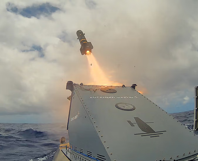
Saildrone Spectre is a next-generation, 52-meter (170-foot) USV designed to support a variety of customer-supplied payloads and capabilities. With more than 70 metric tonnes of payload capacity, Spectre is being developed to support missions including anti-submarine warfare, intelligence collection, electronic warfare, and kinetic effects. Two variants address different operational requirements: Spectre Silent Endurance combines long range with quiet propulsion for extended sensing missions, while Spectre Stealth offers a lower-profile configuration optimized for higher-speed operations and modular mission payloads.
Together, these four classes provide a range of autonomous maritime capabilities, from scientific observations and coastal monitoring to deep-ocean intelligence and sophisticated naval operations.
How are Saildrone USVs powered?
Saildrone’s original technology was developed around a highly efficient wind-powered propulsion system. The Saildrone Wing functions much like an aircraft wing, generating forward thrust as wind flows across its surface. This enables the Explorer to travel enormous distances using wind for propulsion and solar energy to power onboard electronics and sensors.
As Saildrone’s platforms have evolved, so have their propulsion systems.
The Voyager uses an electric motor for primary propulsion, supplemented by the Saildrone Wing. The larger Surveyor combines a high-efficiency diesel engine with auxiliary wind propulsion, providing the power and control needed for demanding ocean mapping and intelligence missions.
Spectre introduces additional propulsion configurations tailored to naval requirements. The Silent Endurance variant combines electric and diesel propulsion with a Saildrone Wing, enabling extended range and quiet operations. The wingless Stealth variant is designed for higher-speed missions where a lower physical profile is advantageous.
Rather than relying on a single propulsion technology, Saildrone engineers each platform to balance range, endurance, speed, payload capacity, and the needs of its intended missions.
How do Saildrone USVs navigate and operate autonomously?
Saildrone USVs navigate using onboard computers, positioning systems, and autonomous navigation software that allow them to follow planned routes, respond to environmental conditions, and operate without a crew onboard.
Before deployment, mission managers establish operating areas, routes, objectives, and mission parameters. Once at sea, onboard systems control navigation and propulsion, following planned routes while adapting to changing conditions. Depending on the platform, radar, cameras, Automatic Identification System (AIS), and other navigation systems provide information about nearby vessels and potential hazards.
Importantly, autonomous does not mean unsupervised. Saildrone USVs operate with human oversight. Trained mission managers and pilots monitor the fleet remotely, supervise navigation, and can modify routes or mission priorities as operational requirements change.
Satellite communications connect the vehicles with Saildrone’s shore-based operations teams, enabling remote tasking and the transmission of data collected at sea.
Through the secure, web-based Saildrone Mission Portal, authorized users can view vessel locations, monitor mission activity, access sensor data, and analyze observations in near real time. Mission data can also be delivered directly into customers’ existing systems.
This combination of onboard autonomy, remote human supervision, and connected data systems enables saildrones to conduct complex missions over extended periods without placing personnel onboard.
What can Saildrone USVs do?
Saildrone vehicles are designed to extend what governments, researchers, and maritime operators can see, understand, and accomplish at sea.
Maritime domain awareness and security: Saildrone provides continuous visibility into activity across coastal waters, exclusive economic zones, and remote ocean regions. By integrating radar, cameras, AIS, and machine-learning systems, Saildrone can detect, classify, and track vessels, including those not broadcasting their positions. This information helps navies, coast guards, and maritime security agencies identify suspicious activity, monitor borders, counter illicit trafficking, and protect maritime resources. Learn more about maritime domain awareness.
Naval operations: Saildrone USVs extend the reach of naval forces by providing long-duration intelligence, surveillance, and reconnaissance without requiring crews at sea. More advanced platforms are designed to accommodate additional mission systems, expanding the role of USVs in undersea detection and other naval operations. Working alongside crewed ships and aircraft, autonomous systems can maintain coverage across larger areas while allowing personnel and high-value assets to focus on missions that require their presence.
Ocean mapping and seafloor intelligence: Saildrone conducts high-resolution hydrographic surveys in coastal waters and across the deep ocean. Integrated sonar, positioning, and oceanographic measurement systems enable the collection of accurate seafloor data to support safe navigation, nautical charting, undersea infrastructure planning, and marine resource management. Long-endurance operations make it possible to survey remote regions without the continuous presence of a crewed survey ship. Learn more about ocean mapping.
Weather, climate, and ocean observations: Saildrone’s scientific missions provide valuable data from parts of the ocean where conventional observations are difficult, dangerous, or expensive to obtain. Explorers have operated inside major hurricanes, circumnavigated Antarctica, and collected sustained observations across the tropical Pacific. These missions support hurricane forecasting, ocean and climate research, fisheries management, and a better understanding of the global ocean.
What has Saildrone proven at sea?
From the High North to the Southern Ocean, Saildrone USVs have operated for extended periods in some of the world’s most challenging maritime environments. Missions have included monitoring vessel activity in the Baltic Sea and Caribbean, mapping the deep-ocean seafloor, and collecting critical weather observations from inside major hurricanes.
Saildrone designs, builds, deploys, and operates the USVs behind these missions, delivering maritime intelligence, seafloor mapping products, and environmental observations directly to customers without requiring them to purchase, crew, or maintain the vehicles themselves.


[
NEVER MISS AN UPDATE
]
Stay informed with the latest research findings and updates.
By clicking Sign Up you're confirming that you agree with our Privacy Policy.