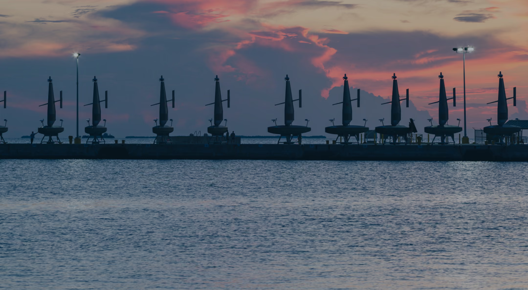
The six-month mission for NOAA mapped over 16,000 square nautical miles of deepwater seafloor, pairing a Saildrone Surveyor with Woolpert’s processing expertise.
Saildrone and Woolpert Help Close Critical Seafloor Mapping Gaps Near the Mariana Islands

High-resolution bathymetric data collected by Saildrone near the Mariana Islands, revealing the shape and structure of the deep seafloor.
Published on
October 14, 2026
Read time:
5
Minutes
Much of what we know about the seafloor is built on approximations. Stitched together from satellite altimetry, scattered ship tracks, and historical soundings, most ocean maps offer only a rough estimate of the seabed below.
Yet despite these data gaps, accurate seafloor maps play an essential role in everything from safe navigation and marine geohazard assessment to managing fragile ecosystems and scientific research. Once collected, the same high-quality data set can support many different applications over time.
Located in a remote stretch of the Pacific, the waters surrounding the Mariana Islands host some of the deepest ocean terrain on Earth, and some of the largest data gaps in the US EEZ. Extreme depths and distance from port make conventional survey methods logistically challenging to deploy, leaving existing seafloor maps sparse and low-resolution.
To execute a deepwater mapping mission for the National Oceanic and Atmospheric Administration’s Ocean Exploration and Office of Coast Survey, Woolpert, a leading provider of lidar and sonar bathymetry data, contracted Saildrone to deliver autonomous data acquisition off the eastern coast of the Mariana Islands. Over the course of six months, a Saildrone Surveyor uncrewed surface vehicle (USV) mapped more than 16,000 square nautical miles of seafloor across the northwestern Pacific Ocean.
Under its contract with NOAA, Woolpert received the data collected by the Saildrone Surveyor in near-real-time for processing and final delivery. The seamless delivery of data collected by the Saildrone Surveyor to Woolpert’s production environment was critical to monitoring mission progress and quality assurance.
“By integrating Saildrone’s data delivery processes with Woolpert’s automated survey production environment, we gain real-time visibility into acquisition progress and data quality—especially in deep-water regions that were once difficult and costly to access,” said Dave Neff, Woolpert maritime market director. “This collaboration shows how uncrewed systems and smart partnerships can expand what's possible in ocean mapping.”
During the mission, the Saildrone Surveyor captured survey depths ranging from 1,235 meters to 6,378 meters (4,052 feet to 20,925 feet). The combination of distance, depth, and time on station illustrates the role uncrewed systems can play in extending survey capacity across remote deepwater regions.
NOAA will use the data to improve its understanding of sensitive habitats, marine geohazards, oceanographic conditions, seafloor composition, and ecosystem management within the US Exclusive Economic Zone (EEZ) near the Mariana Islands.
“Deepwater hydrography has always been constrained by access and time on station,” said Saildrone Sr. Dir. Ocean Mapping Kitch Kennedy, USN Capt. (ret.). “Around the Mariana Islands, Saildrone remained on mission for months, collecting high-resolution bathymetry across an extraordinarily remote part of the Pacific. That kind of endurance gives hydrographers another way to reach places that have historically been difficult to survey.”
Closing these gaps is a national priority. The National Strategy for Mapping, Exploring, and Characterizing the US EEZ calls for all US waters to be mapped by 2030. Historically, the primary obstacle to achieving this goal has been reach—getting high-resolution instruments into remote waters and keeping them on station long enough to gather continuous, high-quality data. Uncrewed systems, built for long-duration persistence, add survey capacity and reach needed to help accelerate that effort.
Augmenting traditional hydrography
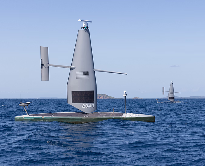
The 20-meter Saildrone Surveyor, equipped with the industry-leading Kongsberg EM 304 MKII deepwater multibeam sonar, delivers high-resolution bathymetric data across remote ocean regions like the Mariana Islands. Powered by a high-efficiency diesel engine augmented by the patented Saildrone Wing, the USV leverages auxiliary wind energy to maximize fuel efficiency—providing the extreme range and endurance necessary to stay on station for months at a time.
Deploying uncrewed surface vehicles provides much-needed survey capacity at a time when traditional survey ships are booked years in advance. This operational advantage helps accelerate progress on national priorities to map the US EEZ while supporting global mapping efforts such as Seabed 2030.
As the demand for high-resolution bathymetric data grows across environmental, shipping, and defense applications, closing critical gaps requires new ways to collect and process ocean data. Saildrone platforms extend where deepwater data can be gathered, while Woolpert’s hydrographic expertise turns that raw acquisition into a trusted NOAA product. Together, this collaboration demonstrates how autonomous technology expands the reach of traditional survey methods, creating foundational seafloor data that can continue delivering value long after the survey itself is complete.


[
NEVER MISS AN UPDATE
]
Stay informed with the latest research findings and updates.
By clicking Sign Up you're confirming that you agree with our Privacy Policy.